

Revisiting the past – from the lush, fertile Tulbagh / Ceres valley in the south through arid Karoo landscapes to the Kalahari in the north where Indigenous tribes, traitors and trekboers met and mingled two centuries ago to create a multi-cultural civilisation as rich and diverse as the land we all still share.
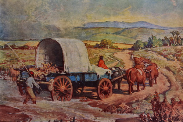
A historical adventure journey of 1 000 km on the tracks of the first trekboers who, 200 years ago, tried to find a route from the Western Cape inland to the North, offers a unique peek into the lives and often harrowing experiences in extreme weather conditions of these courageous pioneers.
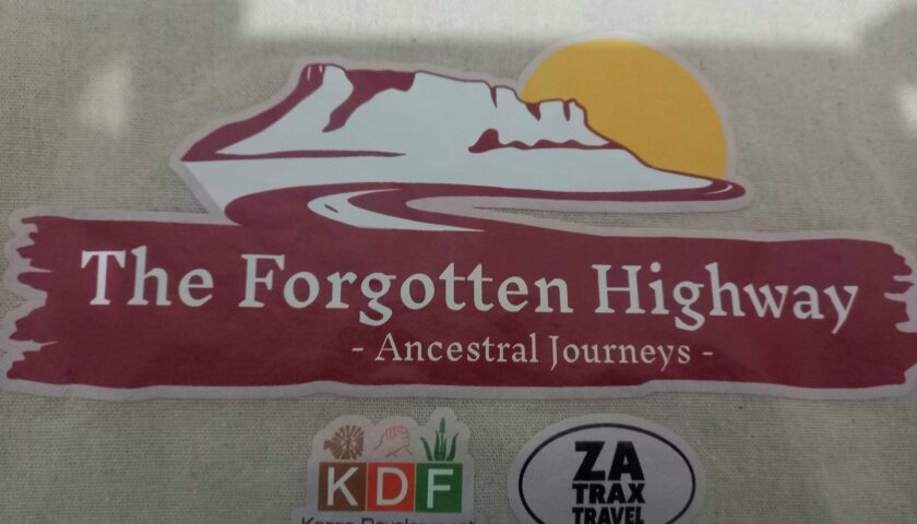
The Forgotten Highway project is a joint effort by the Karoo Development Foundation and ZATRAX Travel, initiated by Prof. Doreen Atkinson, to create greater awareness among local people along the route of the historical significance of their environment and towns.
The 1 000 km Heritage Route from Tulbagh and Ceres to Kuruman was used by the!Xam (San), KhoeKhoe (Khoi), Tswana, missionaries, and explorers from 1780 to 1860. During this estimated 80-year period, the northern boundary of the Colony expanded from roughly where Ceres is now to where Prieska is now.
Tracking the spoor of our restless forebearers some 200 years ago when they left the verdure of the mountainous Cape colony in search of greener pastures inland, is both an exhilarating time travel back into yester-year’s lifestyles and a unique adventure – leaving one in awe of their courage, determination and skills that laid the foundation of our modern-day civilization.
The Forgotten Highway Route links Tulbagh in the south with Kuruman in the north, traversing several Karoo regions – Ceres Karoo, Roggeveld, Nuweveld, Bo-Karoo, Griqualand West, onto the Ghaap, and into the Kalahari. The core towns along the route include Tulbagh, Ceres, Sutherland, Fraserburg, Williston, Loxton, Carnarvon, Vanwyksvlei, Prieska, Niekerkshoop, Griquatown, Danielskuil, Postmasburg, Campbell and Kuruman. https://karoofoundation.co.za/the-forgotten-highway/
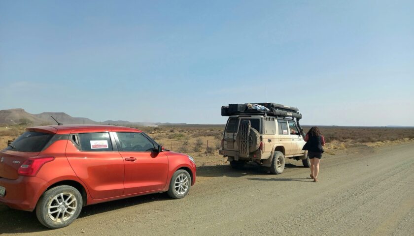
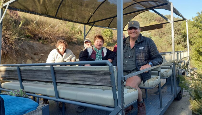
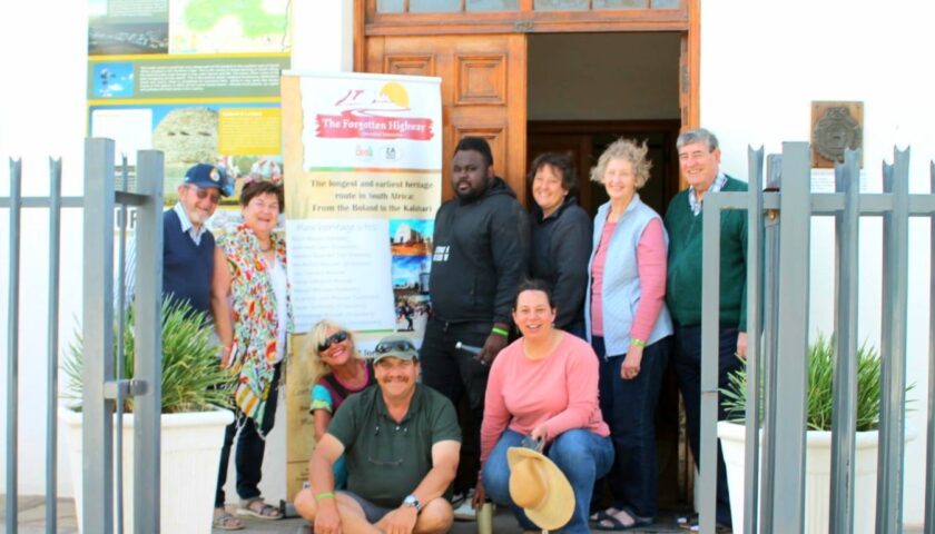
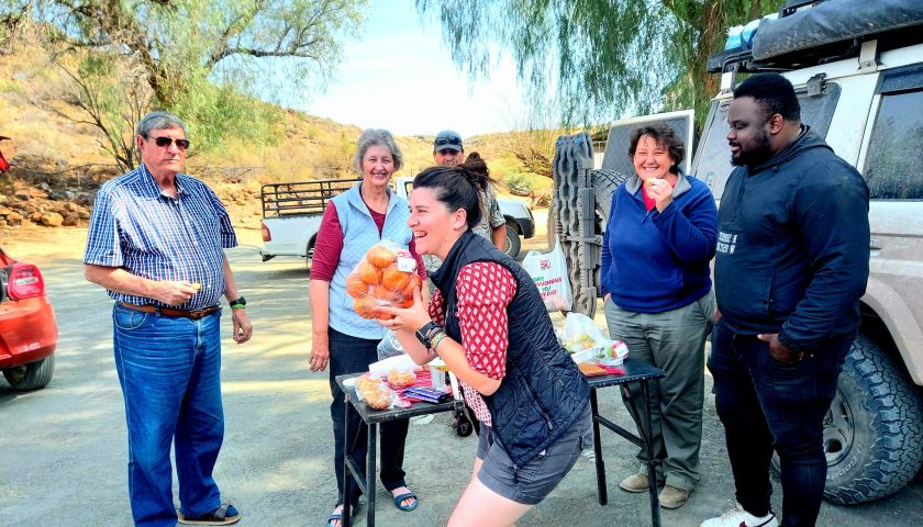
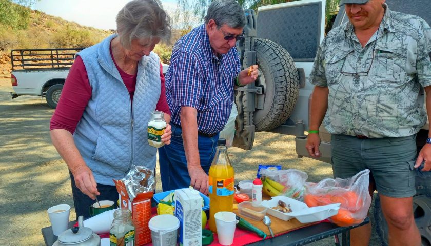
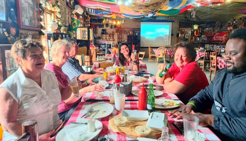
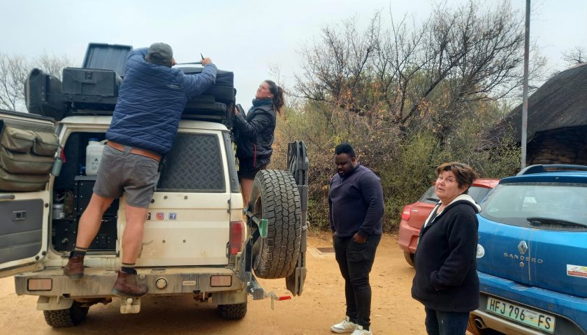
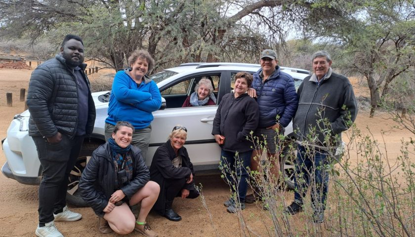
A ten-day pilgrimage by a small diverse group of people to explore, test, map and fine-tune an exciting heritage adventure tour along the same route that our ancestors carved through treacherous hills, valleys and arid landscapes from Tulbagh to Kuruman proved to be as tricky, inspiring and unpredictable as 200 years ago.
The 1 000 km tour offers a medley of fascinating historical facts, fables and artefacts through an ever-changing kaleidoscope of landscapes, climates and cultures. In Europe, the tour would have been akin to visiting ten different countries in ten days!
Here are some of the highlights of the pilgrimage at the various locations along the route:
DAY 1: OUDEKLOOF AND NUWEKLOOF PASSES
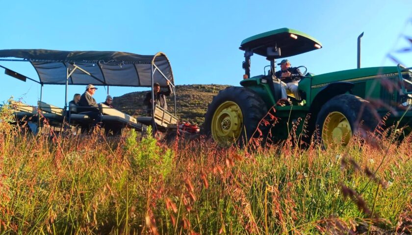
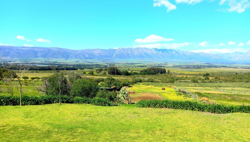
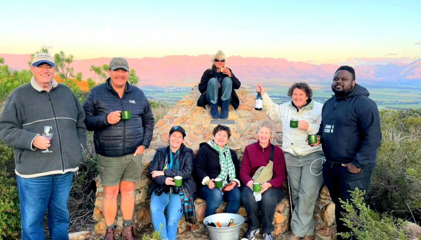
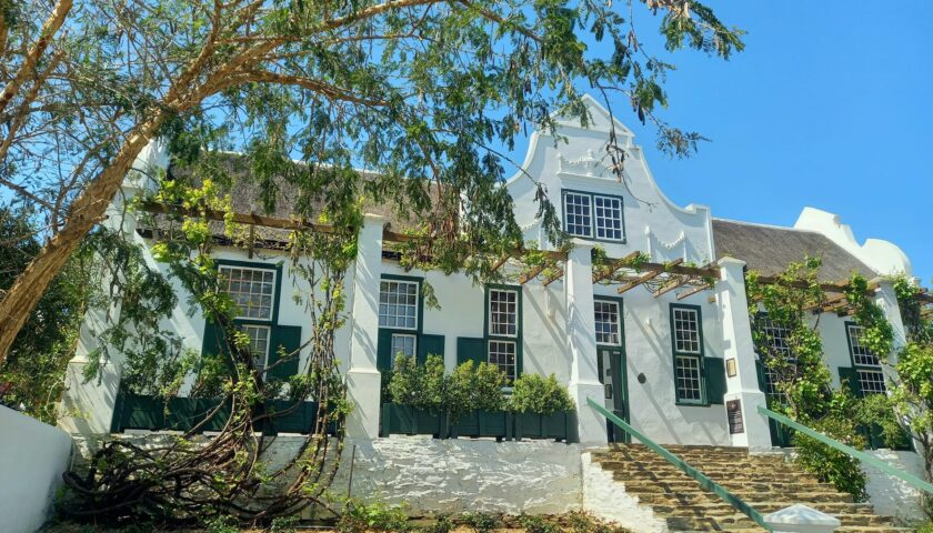
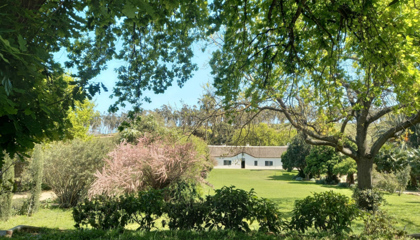
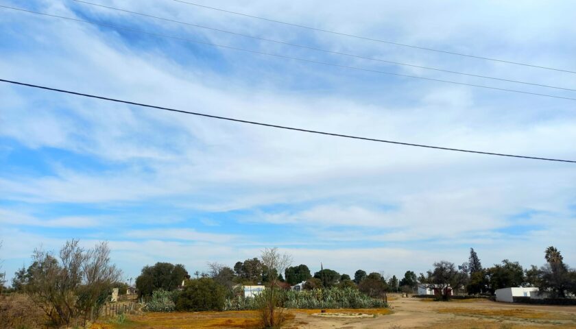
Our pioneer journey started at the picturesque Oudekloof Guest Farm and Wine Estate of Andrew and ChristineJaeger at the foot of the Oubiqua mountain range near Tulbagh.
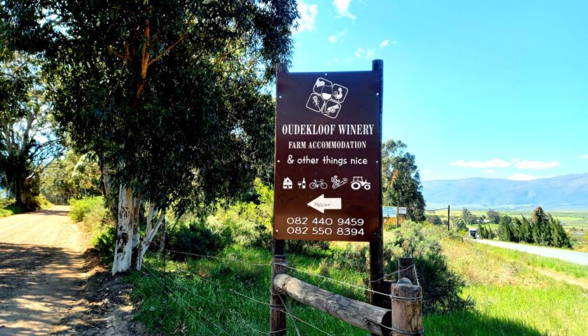
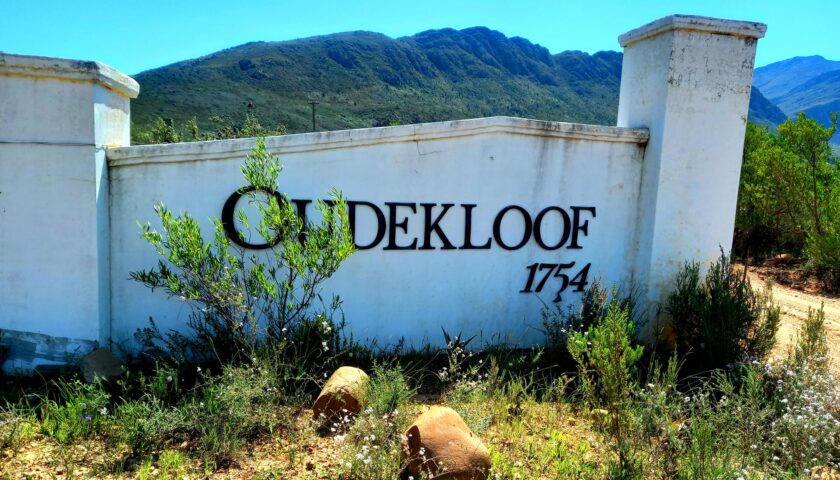
The neck of this mountain was the lowest crossing into the unknown inland in those years and was called the Oudekloof Pass – the first route to link the Cape colony to the north. This pass was for approximately 100 years (mid 1700s) the main entry point to the Tulbagh Valley. Named after the historical Oudekloof Pass, the farm was established in 1754. Although the pass cannot be used for vehicles, it still offers a lovely walk across the mountain with an uninterrupted all-round birdseye view over the Ceres/Tulbagh valleys and neighbouring towns as far as Table Mountain on a clear day.
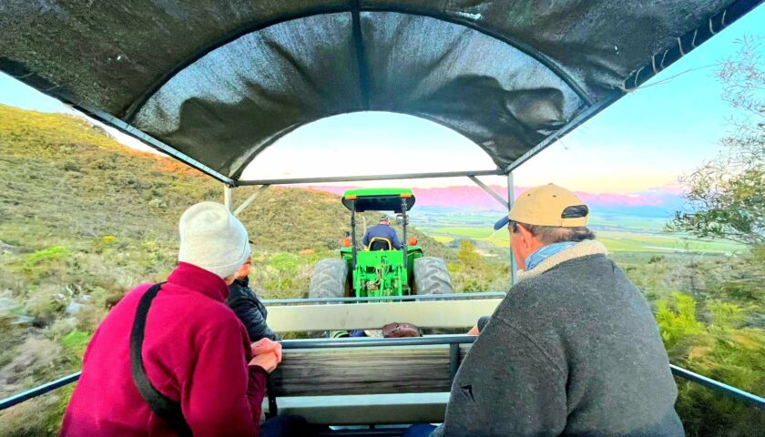
The group was treated to luxurious accommodation offering breathtaking views across the Tulbagh valley, 3-course meals and a taste of the superb range of Oudekloof wines, jams and honey produced on the farm. A tractor ride took us up the steep fynbos-covered Oubiqua mountain where yester-years’ thirsty explorers and their oxen drank from the fresh fountain water, unto the summit where we enjoyed a delightful sunset toast.
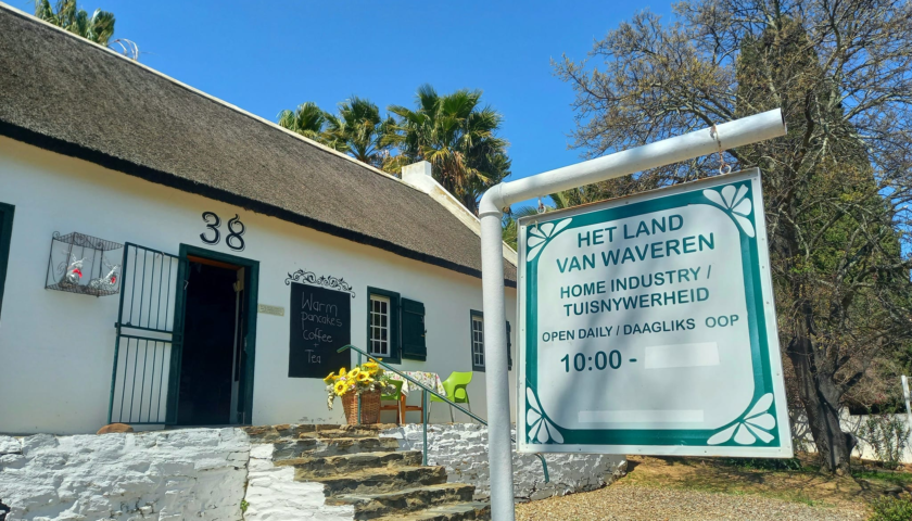
- In March 1658, Jan van Riebeeck sent Sergeant Jan van Harwarden to find a pass across “the mountain range of Africa”, as Van Riebeeck called the formidable mountain peaks surrounding the Colony. After some fruitless attempts, Van Harwarden sent the Surveyor, Pieter Potter, ahead to find a passage across the Oubiqua mountains. On about 5 March 1658, Potter found a pass – the Oudekloof Pass – and became the first white person to look upon the Tulbagh Basin. In those days, the Tulbagh Valley was called Roodezand (red sand) Valley, or The Land of Waveren.
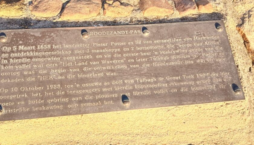
- It was a tough journey from Cape Town. At least two of the party had died – one from illness, and one had been mauled by a lion. Fifty years later, Governor Simon van der Stel used the same pass to travel to Tulbagh.
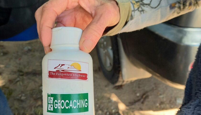
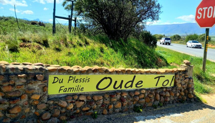
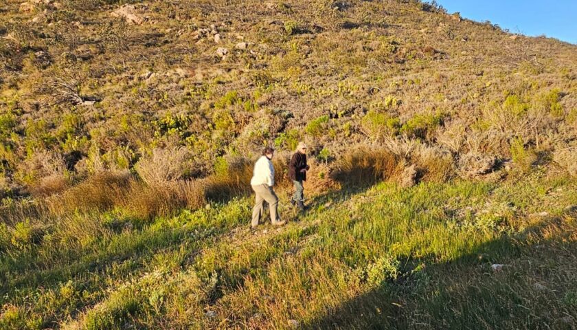
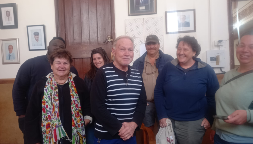
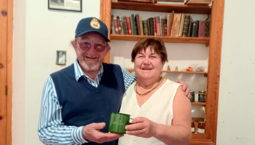
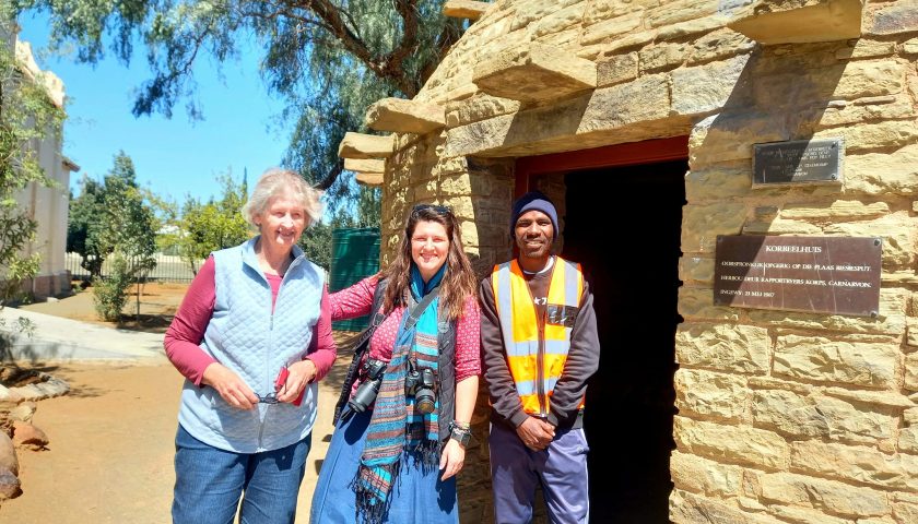
The Nuwekloof Pass was the second pass Pieter Potter discovered – a mere cattle track along the Little Berg River – that by 1810 became “the new way for carriages” and even had a toll gate to help cover the cost of road maintenance. The Du Plessis family – Kobus and Hadi du Plessis – now owns the farm Oude Tol, named after the first toll gate, where remnants of old horse stables from that period can still be found. In the above photos prof. Doreen Atkinson and Hadi du Plessis are holding the Forgotten Highway geocache that Atkinson hid on the Oude Tol farm.
The Nuwekloof Pass, winding in and out of the river bed, was extremely narrow and treacherous. In the 1860’s Thomas Bain had it rebuilt and it was tarred in the 1930s. In 1874, Bain also built the railway pass which runs along the roadway. The well-known Bushman’s Rock on the western side is a timeless reminder of the era when the San people used to roam freely in these mountain crevices.
- More photos and information in the random tour journal (in Afrikaans) here: https://web.facebook.com/elsa.wessels/posts/pfbid03731w635HLU1tsy3WVmP8c3nxEYGKHny6n5wZdkSZtRpRKEZRzH5YqYy4yWSbZ2FZl and here: https://web.facebook.com/elsa.wessels/posts/pfbid02Ecom7QHsK6dZwKFTMH8SUDc1qaU87dgY1X2tyFCGr7vRauSG6j5SRNuUVG3HQgih
DAY 2: TULBAGH – Valley of Abundance
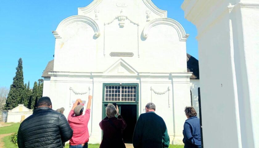
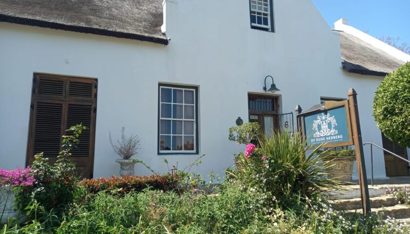
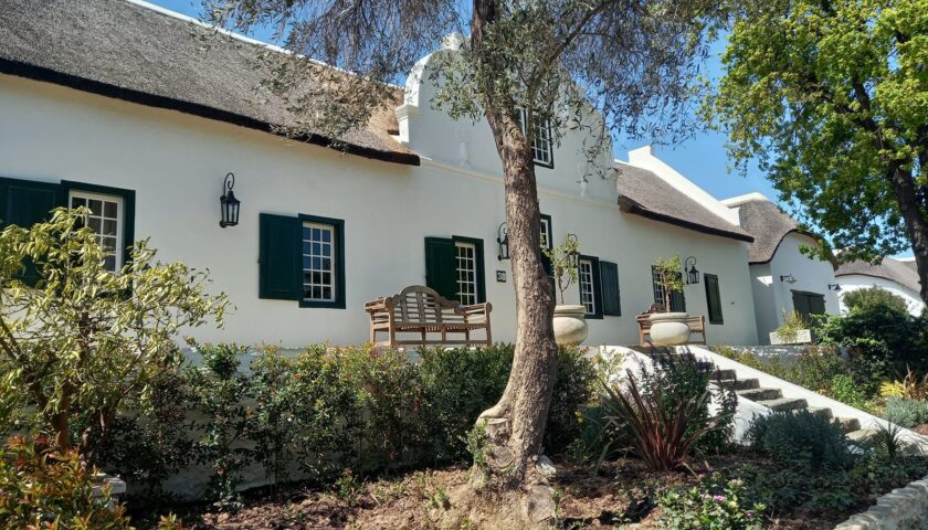
The scenic Tulbagh, renowned for its wealth of Cape Dutch architecture, exquisite surroundings and rich history, is the first town on our specific heritage route. Its significance is that most of the early travellers passed by this area or crossed the Oudekloof or Nuwekloof Passes to visit the lush Tulbagh or Roodezand Valley, then called The Land of Waveren. The town of Roodezand was renamed Tulbagh after Dutch Cape Colony Governor Ryk Tulbagh in 1805.
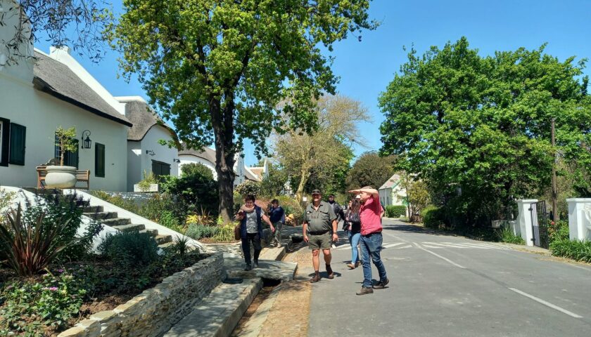
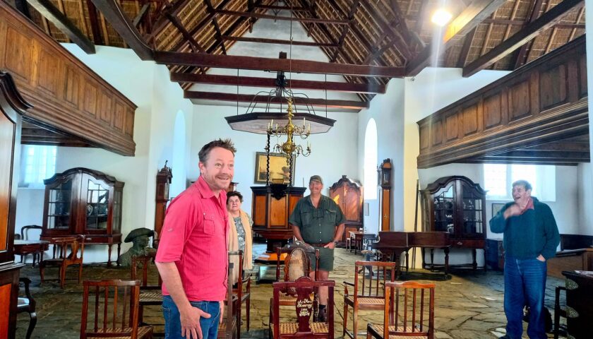
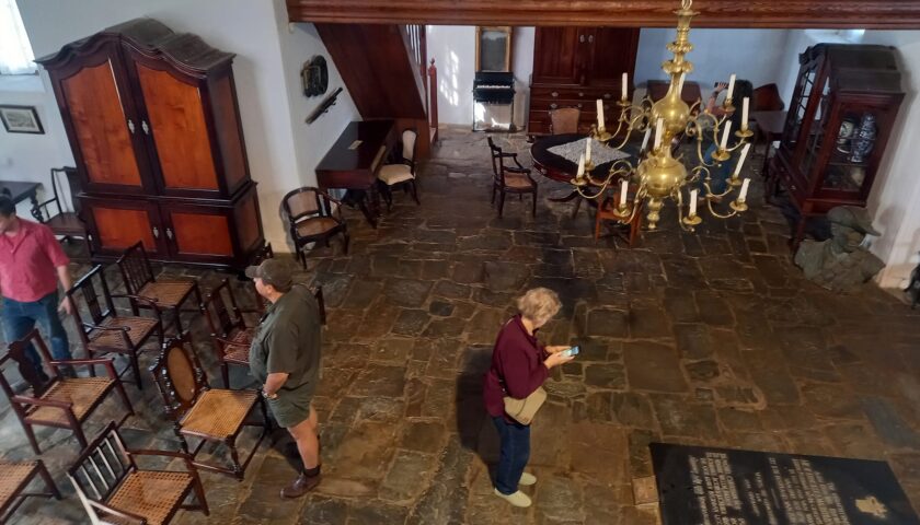
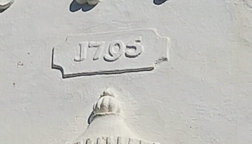
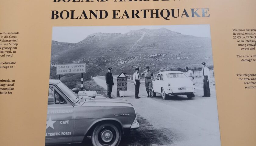
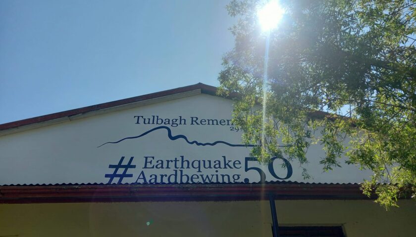
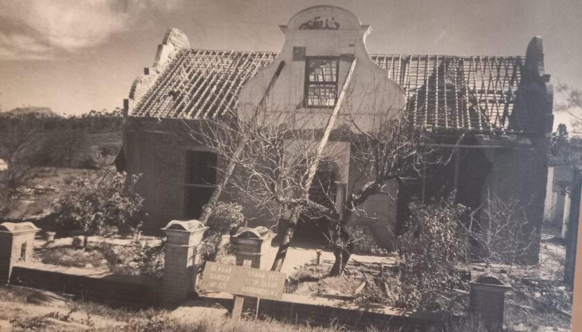
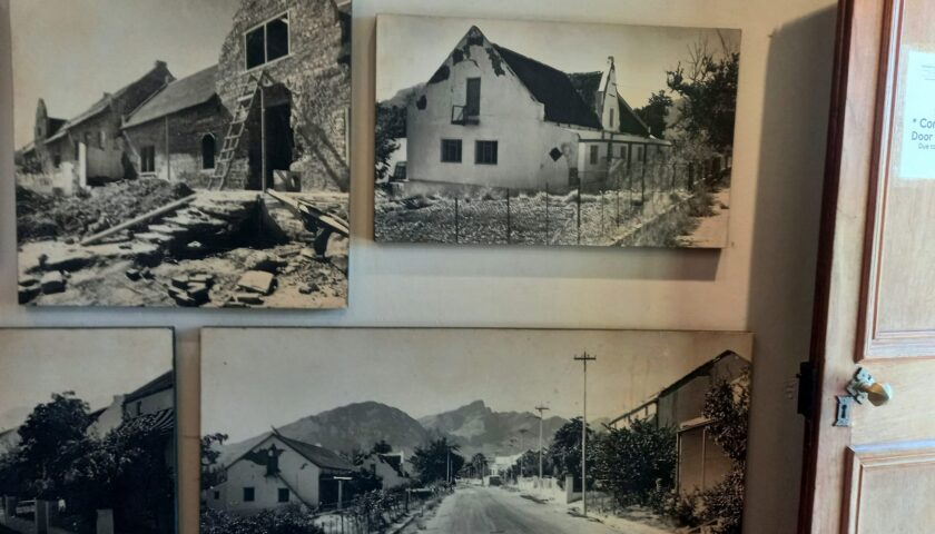
The Tulbagh Valley – also dubbed the Valley of Abundance thanks to its moderate climate and prolific vegetation – was first discovered in 1658 by Pieter Potter, surveyor general to Jan van Riebeeck, and land grants were made to 14 farming families in 1700. The town itself was developed in 1743 when the museum church was built. After the devastating 1969 earthquake, every historic home on Church Street was painstakingly restored to its original glory. Our passionate and knowledgeable guide, Jayson Augustyn-Clarke, has been doing historic guide tours around Tulbagh for over a decade and boasts a Masters degree in architectural conservation.
Situated in a picturesque environment on a coastal plateau between the Outeniqua Mountains and the Indian Ocean, Tulbagh and its surrounding areas are blessed with a temperate climate and rich foliage all year round.
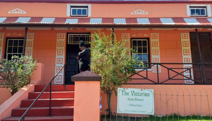
Cape Dutch architecture dominates the historic Church Street, while the town also features Victorian-style houses and five museums, enabling the visitor to time travel over 300 years.
Church Street and the Tulbagh Wine Route are among the town’s biggest claims to fame.
More photos and info here: https://web.facebook.com/elsa.wessels/posts/pfbid0UjSuXPBVqyJDe7Zu9QRgN65SBrhAABJvWwJySAQ1fDUnEoZ5esbhPUhhJnuxU6w1l
DAY 3: CERES TO ROGGE CLOOF PRIVATE NATURE RESERVE TO SUTHERLAND
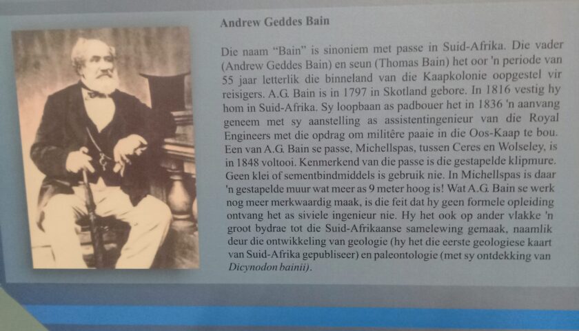
The pass to Ceres was always called Mostert’s Hoek before the modern Michell’s Pass was built in 1846 by Andrew Geddes Bain. The pass was named after Charles Michell, an engineer who became the Surveyor of the Cape Colony.
In the late 1700s, Jan Mostert lived at Wolven Kloof, at the foot of Michell’s Pass. In those days, travellers had to dismantle their wagons and load the wheels and body of the wagon and the goods onto oxen to cross the pass slowly. In about 1765, Jan Mostert built a road at his own expense. Today, parts of it can still be seen up the kloof as a cutting along the riverbanks.
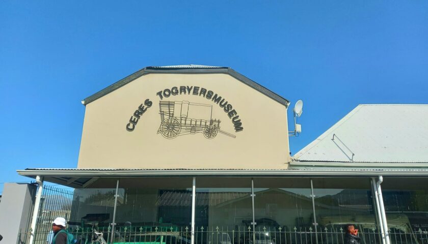
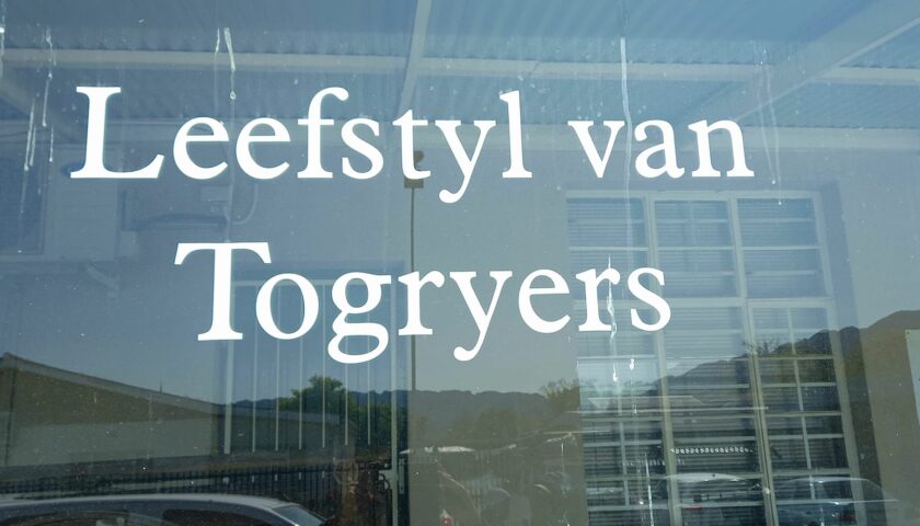
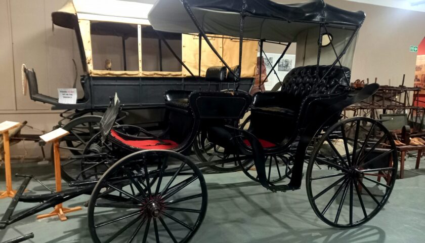
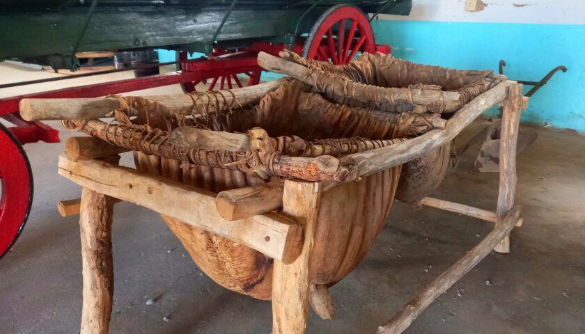
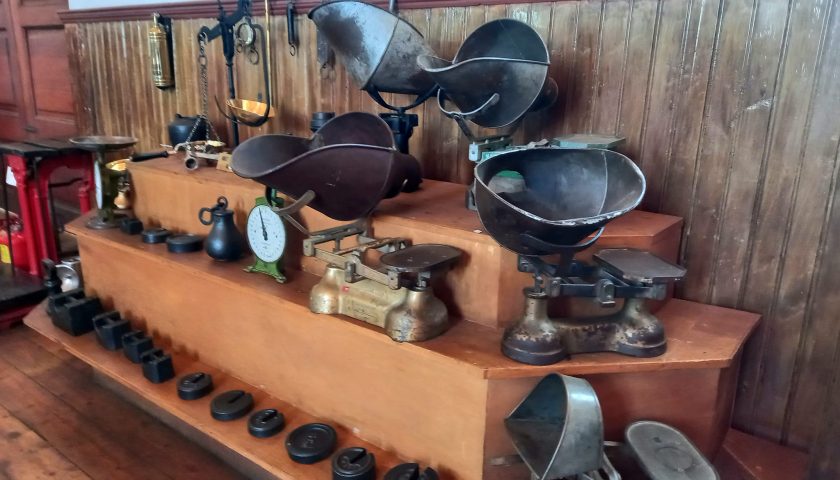
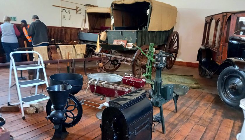
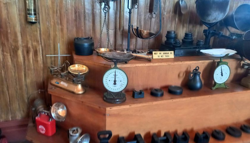
The Wagonneers Museum in Ceres provides a rich tapestry of information and artefacts about the lives and routes the first trekboers carved through mountains and cliffs to explore the unknown northern parts of the country.
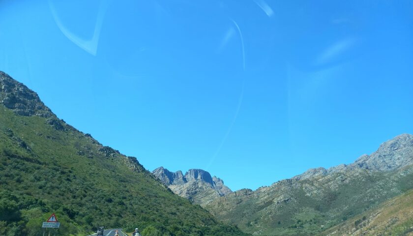
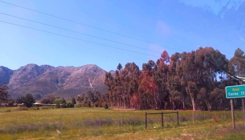
From Ceres, the road to the Karoo is a well-designed tar road traversing the Theronsberg Pass with the formidable Hex River Mountain Range and the Matroosberg Peak to the south – an important marker to early travellers.

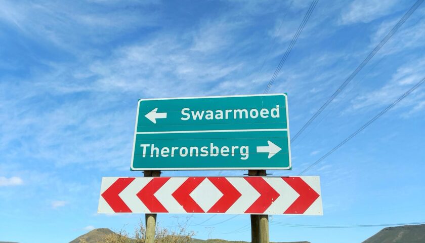
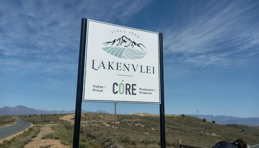
Our group followed Lichtenstein’s route past Lakenvalley on the Bo-Swaarmoed Pass, slightly adjacent to the R46. The Swaarmoed Pass road leaves the R46 about 10 km northeast of Ceres and rejoins it about 40 km further, after the beautiful Theronsberg Pass at Hottentotskloof. This is another subtle reminder of the Khoi who originally lived in the area. At this point, you depart the fertile Ceres Valley and enter the drier Warm Bokkeveld region.
Karoopoort to Sutherland. The old highway (gravel road) is a long stretch featuring one of the major historical segments of “The Highway to the North” – or more accurately, to the northeast.
It continues the route from Tulbagh and Ceres basin, through Karoopoort, across the Bokkeveld Karoo, to the escarpment and the highlands (called the Roggeveld), where Sutherland was later established. Between 1750 and 1800, trekboers were establishing temporary grazing farms (legplaatse) or even permanent farms along the foot of the Roggeveld mountain range.
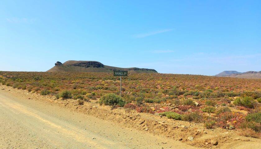
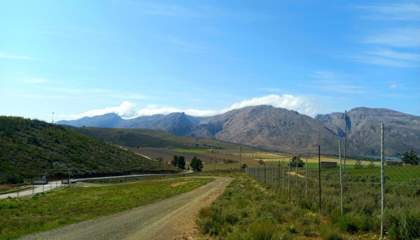
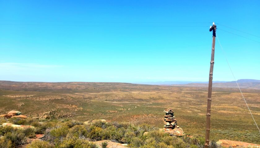
Despite the emptiness of the Bokkeveld Karoo, there are several landmarks – if you know where to look! The Forgotten Highway runs from Karoopoort to Spes Bona beneath the Paardeberg, and then on to the Hangklip (also called Hanglip) on photo above, where the foothills of the Roggeveld Mountains begin. Hang(k)lip was an important landmark to the earlier travellers who often rested their oxen here.
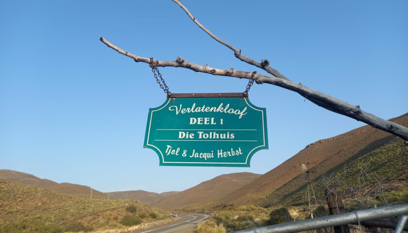
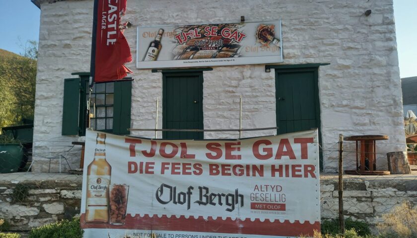
Verlatenkloof (Deserted Cleft) was in those years described by Mossop as “a great gash in the abrupt wall of the Roggeveld Range”. The rivulets which drain the Kloof eventually become the Tankwa River, which flows in a south-easterly direction from the escarpment. Today, one of the landmarks along the Verlatenkloof Pass is “Tjol te Tol”, situated in the old Toll building in the Pass. The owner, Tjol Herbst, is an interesting and entertaining host and his pub Tjol se Gat is definitely worth a visit.
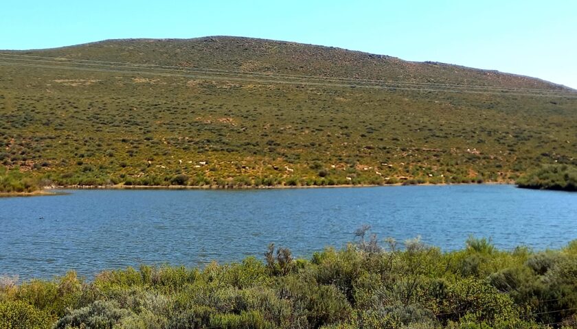
The last stretch of the day took us to the impressive Rogge Cloof Nature Reserve outside Sutherland where we spent the next two nights while exploring Sutherland’s history and new developments. The old farm Jakkalsfontein, where the Somerville expedition party stayed over on 12 October 1801 and bought provisions and 75 sheep, is now part of the reserve.
More photos and info here: https://web.facebook.com/elsa.wessels/posts/pfbid022v4tj62j4NXYasPLewNfvXWz1tHL1h5e9PiHtsYpeRxNRYeAQandiCJhePHwX4Ghl
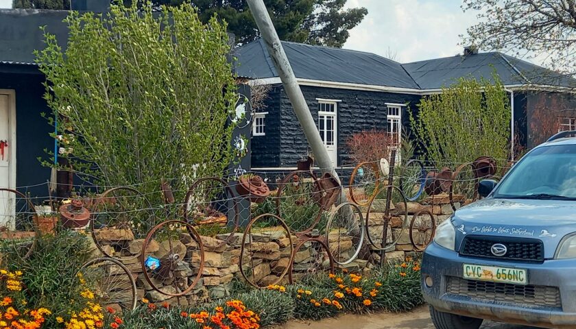
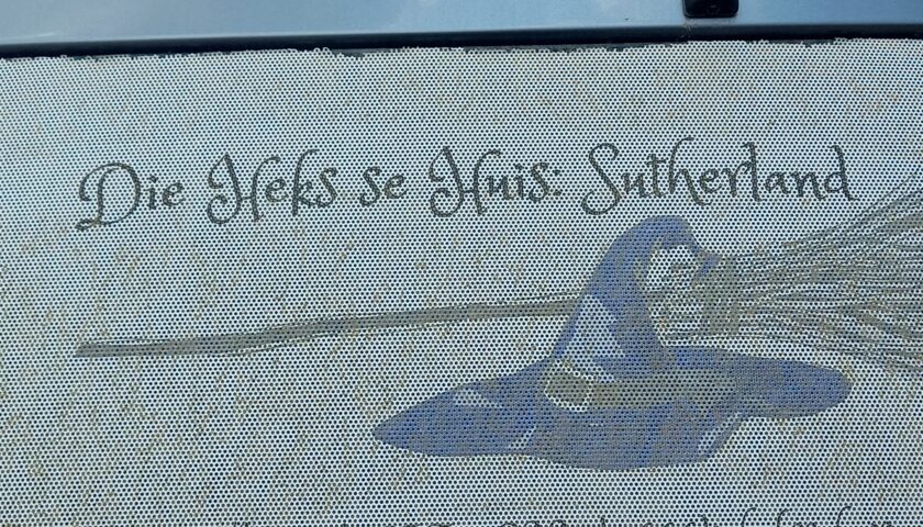
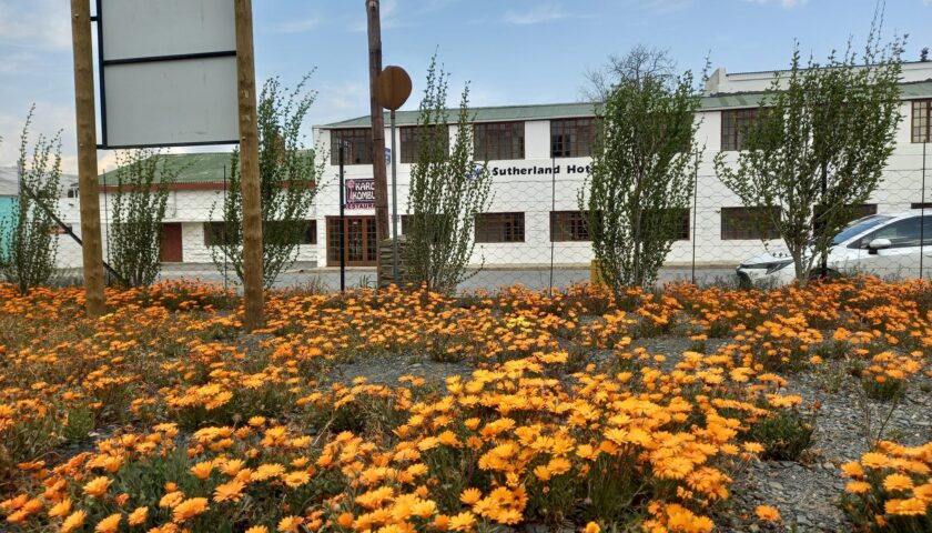
DAY 4 – HIGHLIGHTS IN SUTHERLAND AND FRASERBURG
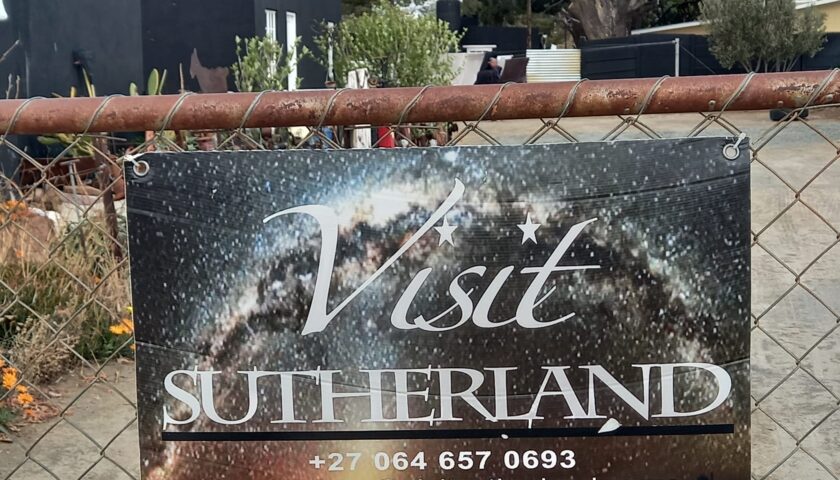
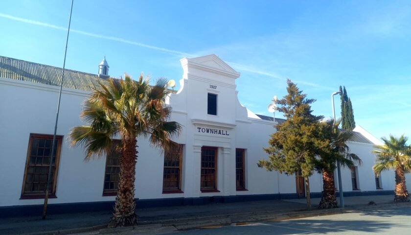
This quaint Karoo dorp in the Roggeveld originated in 1723 on the farm De List and was named after Rev. Henry Sutherland from Worcester, who annually came to the district for church services. It was mainly a church and market town to serve the area’s sheep farmers. By 1872 the town had a population of 138 registered citizens living in 19 houses. In 1855 it was decided to establish a congregation here. On 8 November 1858, 30 of 50 plots were sold. The beautiful Dutch Reformed church, built in Cruciform architecture style and ornately furnished with imported Canadian pine and ironwork from Scotland, was completed in 1899 but due to the Anglo-Boer War, could only be inaugurated officially on 25 April 1903.
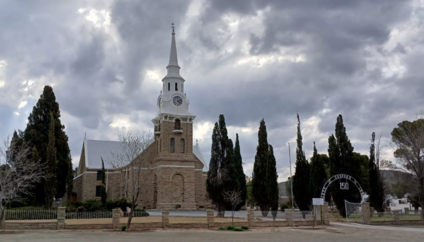
Extensive damage was caused during the war when British soldiers beleaguered the building with sandbags and iron fencing and used the wooden church pews for firewood, while the Boers occasionally shot at them. The original organ was destroyed. It was later replaced with a new organ imported from Germany. The ruins of a fort can still be found on the outskirts of town on the hill called Rebelskop. The Anglo-Boer War cemetery is on the left side of the town entrance from the Matjiesfontein side.
The original congregation has since dwindled to a mere 350 members and fewer than 20 attend church services due to the depopulation of the town and the far distances from farms.
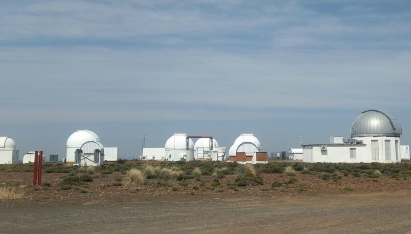
Today, one of Sutherland’s main attractions is its international astrology status for housing the Southern African Large Telescope (SALT) and also maintaining the telescopes of six other countries on the premises. SALT is the largest single optical telescope in the southern hemisphere and one of the largest in the world.
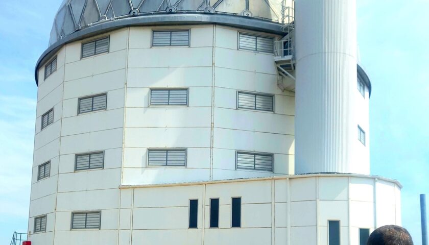
Located and operated at the South African Astronomical Observatory (SAAO) outside Sutherland, it has an 11m wide hexagonal primary mirror array, comprising 91 individual 1m hexagonal mirrors.
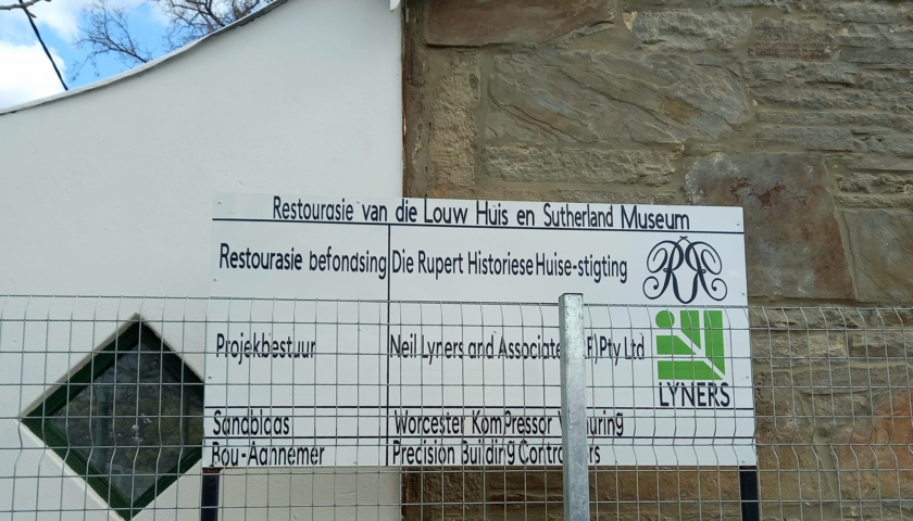
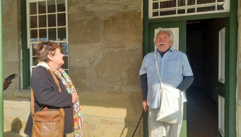
The historical Louw family home where the renowned South African Afrikaans author, poet, dramatist and essayist Nicolaas Petrus (NP) van Wyk Louw was born, is currently under construction. It is being renovated as a museum and theatre by a group of local cultural enthusiasts. The flamboyant and talented art/food/literature fundi Gerald Scholtz is the main driving force behind this ambitious project.
NP van Wyk Louw was born in Sutherland on 11 June 1906. He was the second oldest of four brothers, the youngest of whom was the poet W.E.G. Louw. NP van Wyk Louw received various literary prizes. His best-known work is his epic poem Raka, recounting a black hero’s desperate struggle against a nightmarish beast to save his people’s heritage of language and art. President Thabo Mbeki bestowed The Order of Ikhamanga in Gold for exceptional contribution to literature and advocacy of language rights for the African languages, posthumously on him on 27 September 2005.
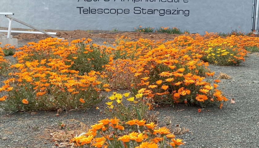
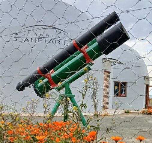
The Sutherland Planetarium & Astro Amphitheatre is another huge tourist attraction where visitors can be transcended into another world of celestial stories and folklore. Mankind’s fascination with the Milky Way and the daunting magnitude of the galaxy is as old as the Earth itself.
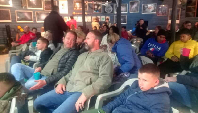
Sightseeing and historical town walks are offered by Sutherland’s energetic tour guide, Amanda du Preez, who knows all the interesting facts and folklore of the Sutherland region.

More photos and info here: https://web.facebook.com/elsa.wessels/posts/pfbid02G9vafHDEGAX9ZbSB2yryuQweSQajejnKVc3uQpEQMpYuVNHjqusnDPb2udGUsVucl
DAY 5: FROM SUTHERLAND TO FRASERBURG VIA THE HISTORIC RANTEPAD
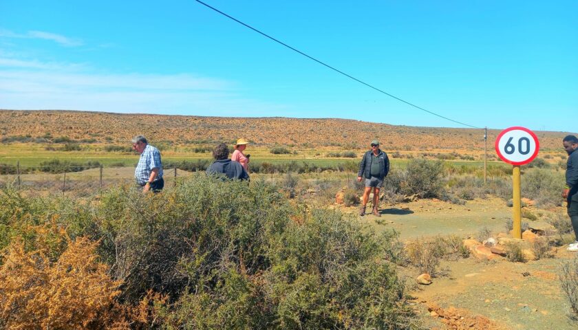
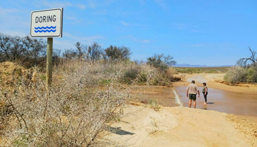
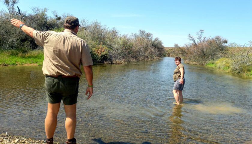
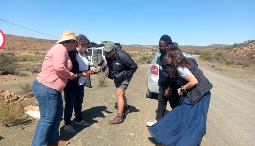
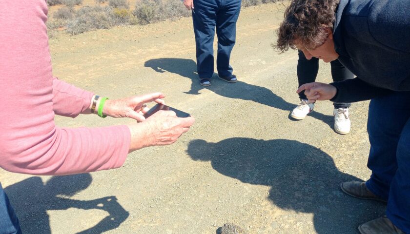
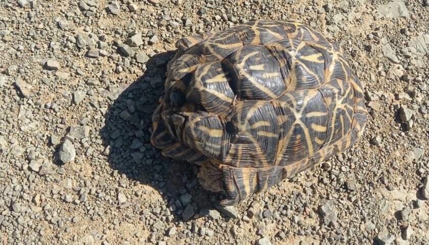
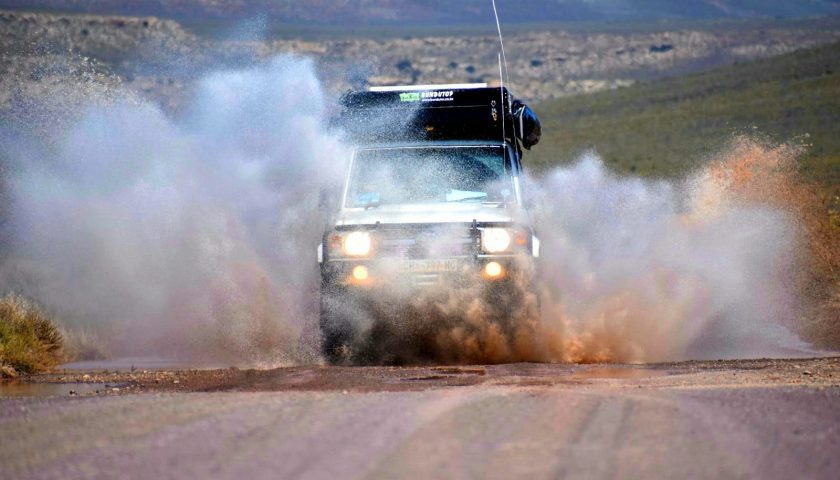
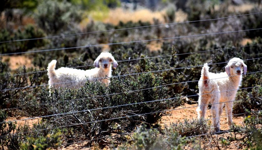
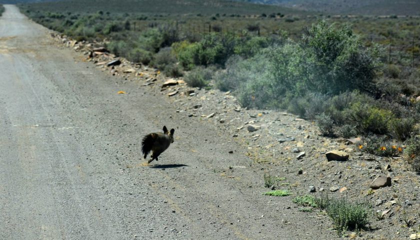
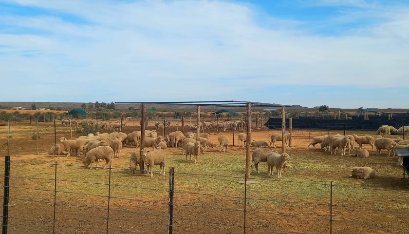
The gravel road from Sutherland to Fraserburg took us past typical Roggeveld Karoo landscapes and sheep farms. The group was blessed to encounter several water holes (called zeekoegate by earlier explorers) ) and streams along the way as a testimony to a good winter rainfall season. We often took a break to study rare plant and animal species such as the severely endangered geometric tortoise on the road.
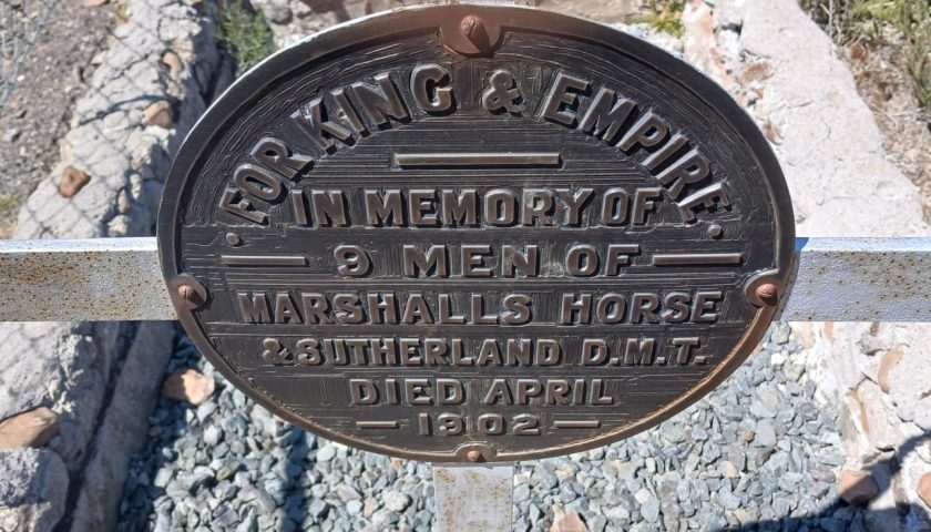
Another landmark on this route is the historical grave and plaque at Rhenoster Valley in commemoration of the SA Marshall’s Horse troopers who were killed during the Second Boer War.
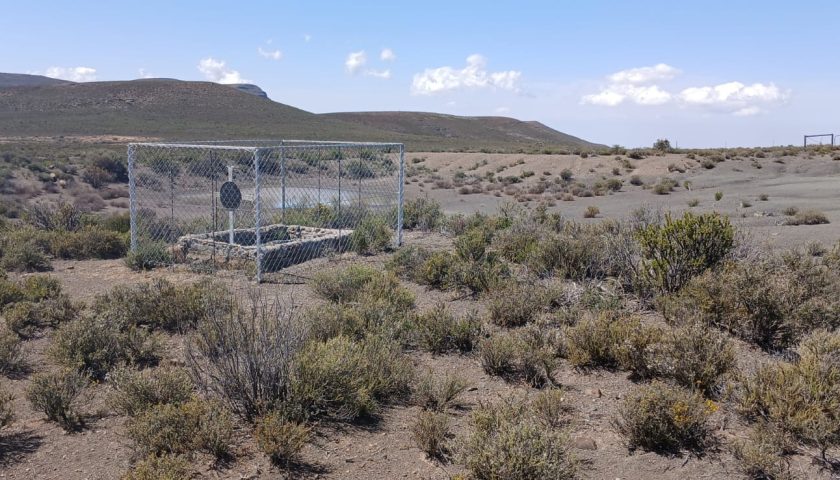
Marshall’s Horse was a South African cavalry unit formed in 1899 at the start of the Second Boer War to provide military support for the British campaign. The unit was created from the Uitenhage Rifles and 1st City (Grahamstown) Volunteers. They formed in Grahamstown, initially comprising 244 members before rising to 500 in late 1899 On 24th March at Rhenoster Valley near Fraserburg, a detachment of Marshall’s Horse was badly cut up, leaving one officer, Lieutenant A P L Gabbett, mortally wounded. Several other men were also killed, but it has proven impossible thus far to find their names. The search continues!
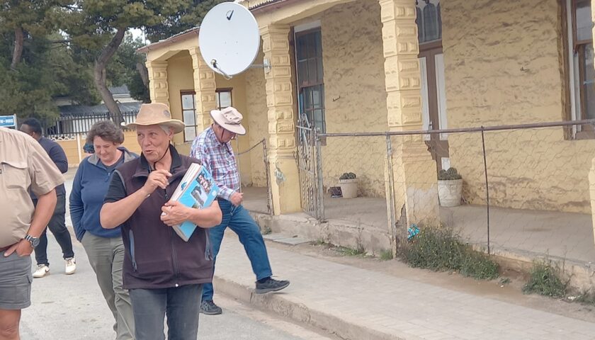
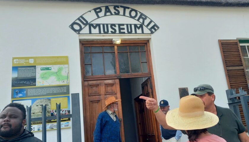
At Fraserburg we were welcomed by the ever-enthusiastic Herman de Vries, secretary of Fraserburg’s Heritage, Culture and Tourism Foundation who gave us a tour of the old Pastorage Museum. Fraserburg was established in 1851 on the farm Rietfontein and named after the Scottish immigrant Reverend Colin Fraser. The original manor house of this farm is still in use. A post office was established in 1858.
Today, travelling along these vast, open spaces steeped in history, one can easily conjure up images of the early trekboers seeking shelter and land in this peaceful area.
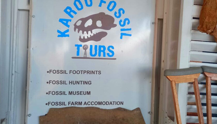
THE KAROO FOSSIL FOOTPRINTS – DELVING DEEPER INTO THE PAST
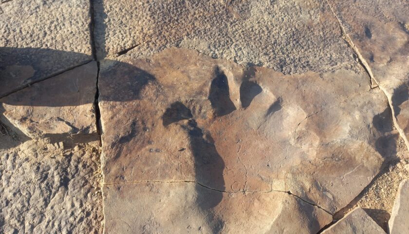
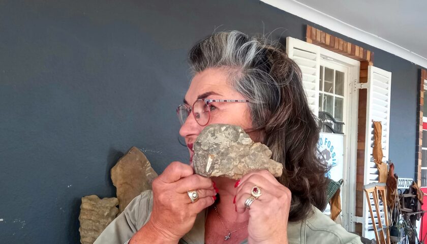
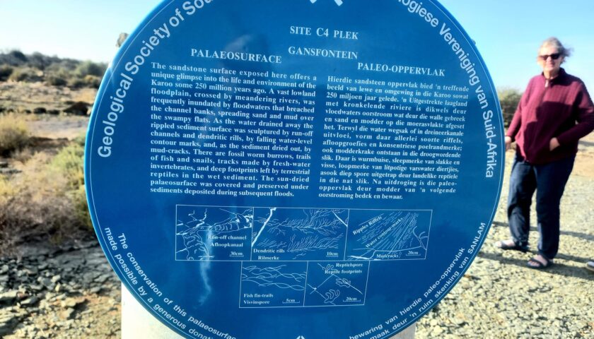
Our next stop took us to the farm Gansfontein where tour guide Marinda Oberholzer introduced us to the remarkable palaeontology discoveries made here along a water course on the farm now named the Gansfontein Palaeosurface.
It is believed that heavy rains washed away the surface soil revealing prehistoric animal footprints and indications etched into the rocky surface. The most notable of these creatures were the footprints of the three-metre long, five-toed, dinocephalians of Bradysaurus.
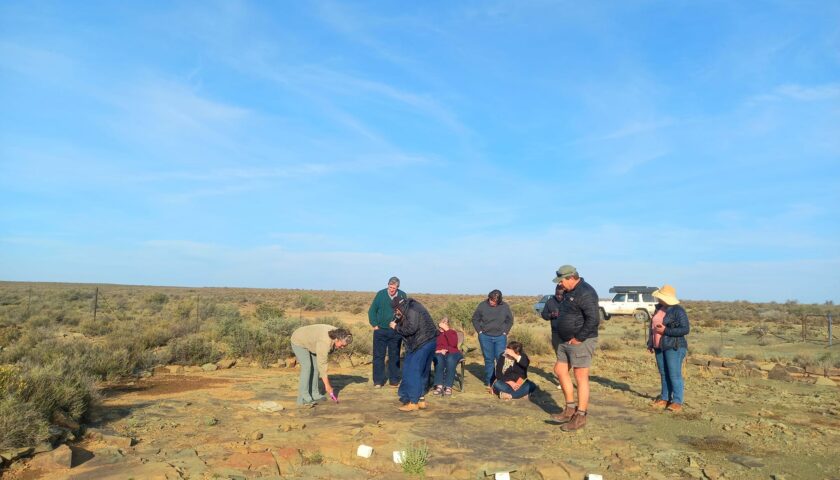
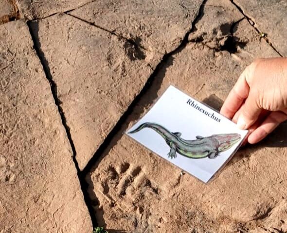
Astonishingly much of the rocky surface is rippled indicating that the area was inundated with mighty rivers and swamplands and there are extensive indications of fossilised water scorpions and fish.
Geologists believe the water course dates back more than 250 million years to the end of the Permian period when two-thirds of present-day South Africa was under sea. This was the time that therapsids, early mammal-like creatures that preceded the dinosaurs, roamed the Earth.
Driving around Fraserburg, it is hard to believe that in more recent times the Fraserburg region was the preserve of the San or Bushman who ultimately came into conflict with the trekboers or nomadic farmers who began to move onto the Nuweveld Plateau during the 18th century.
These early years were characterised by conflict and the dispossession of the San’s traditional hunting lands by the trekboers resulting in the San moving out of the area into what is today known as Bushmanland.
At Kerkplaas just outside Fraserburg, the remains of the church and home of the Reverend J.J. Kicherer, built in 1803 by the London Missionary Society, still exist. This early mission was established to spread Christianity to these early inhabitants of the district.
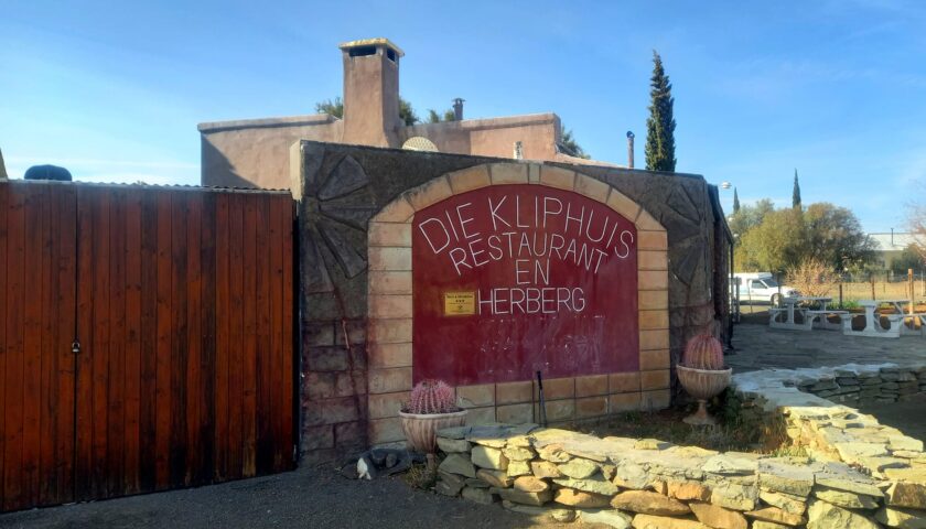
We spent a pleasant night at the comfortable and spacious Kliphuis Guest House, situated right next to the original homestead of the Rietfontein farm.
More photos and info here: https://web.facebook.com/elsa.wessels/posts/pfbid02qYzAeB9HxAas81oNJmSUJHwUuqe54TF9zegjrksNRrMoNdL3MGz3pDbm9A4onhYFl
DAY 6: FRASERBURG TO LOXTON
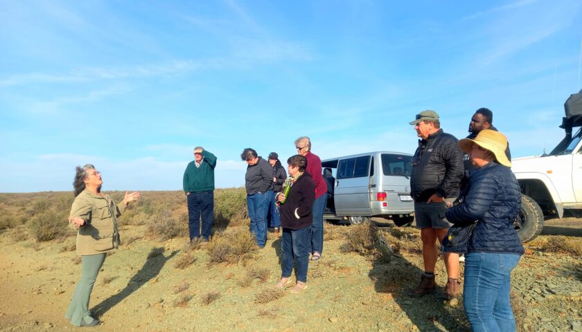
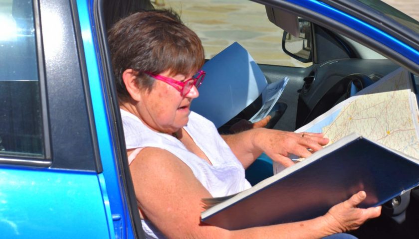
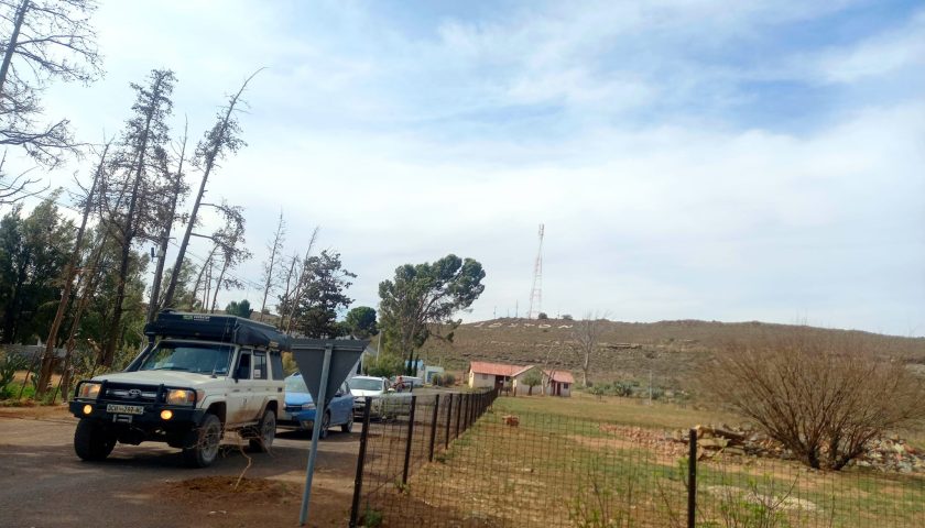
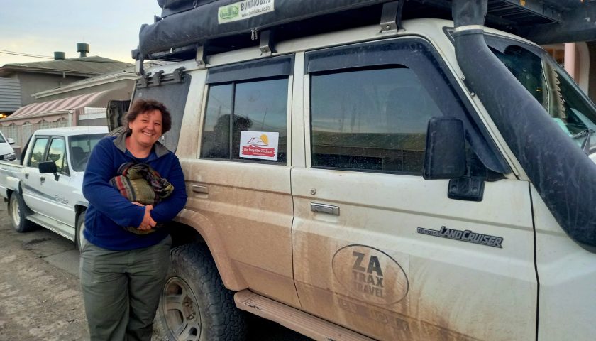
The route from Fraserburg to Loxton took us through another array of landscapes brimming with wildlife and weird, wonderful creatures and features. Always ready with maps and the FH tour guide to point out interesting landmarks and topography, prof. Atkinson soon traded the driver’s seat to play tourist guide.
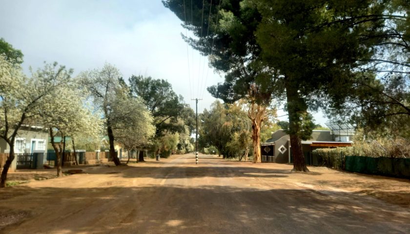
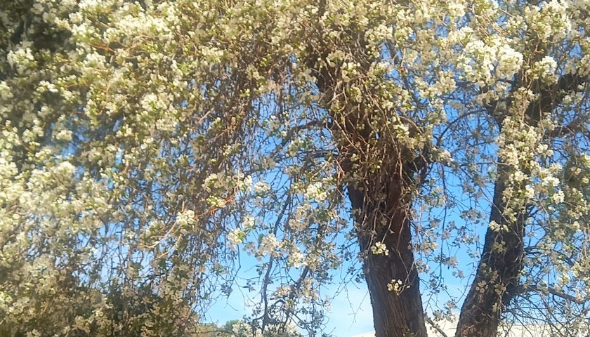
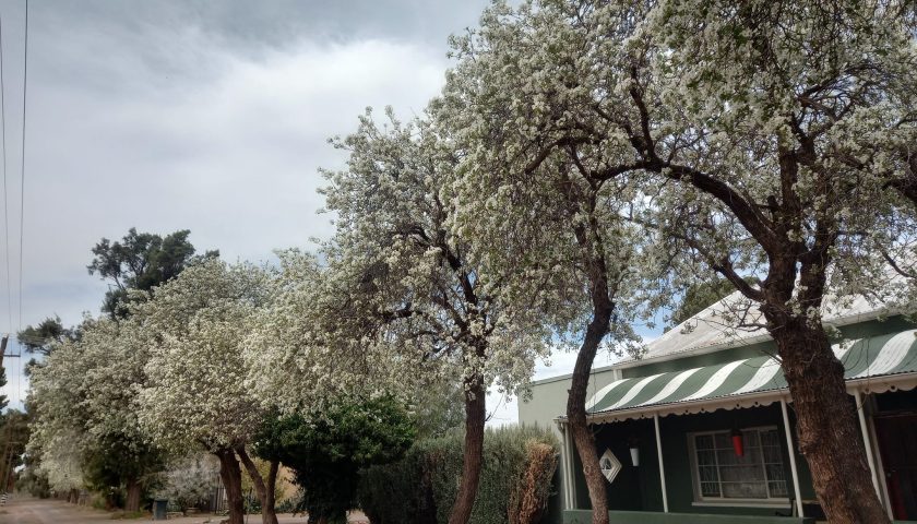
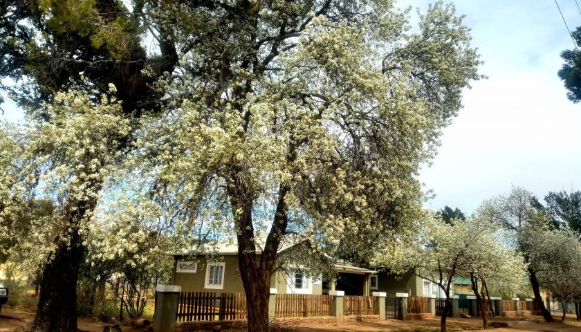
Although the original Forgotten Highway did not go via Loxton but directly from Fraserburg to Carnarvon, we nevertheless spent a relaxing day in this serene hamlet with its wide sand streets embraced by blossoming pear trees, cypresses, pepper trees, and beefwoods, which provide welcome shade in the hot summer months. Locals describe Loxton as an ideal escape from city life stress.
The timeless old-world feeling of this town that inspires artists and writers is noticeable in most of the shops and venues – boasting an artistic blend of old and new in style, architecture and taste. In recent years Loxton has become a sought-after and almost trendy Karoo dorpie, attracting tourists, travelers and holidaymakers seeking tranquility in nature. Many of the old buildings have been renovated and restored to their original beauty.
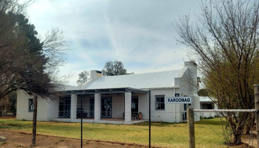
Loxton has been the home town of a few well-known people and authors such as the Afrikaans novelist and writer Ena Murray (1936-2015), theologian and anti-apartheid activist Beyers Naudé (1915-2004), as well as well-known SA novelist Deon Meyer, who earlier owned a little Karoo house here, now trading as a guest house called “Karoonag” (“Karoo night”). One of Deon’s stories was filmed at Jakhalsdans, a neighbouring guest farm. The SA landscape and portrait artist, Annelise Vorster Meyer, still lives and works here. We visited her home studio which used to be the home of her late grandfather, who was a medical doctor in Loxton.
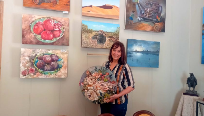
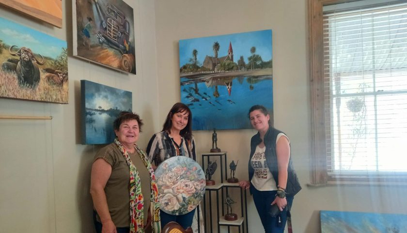
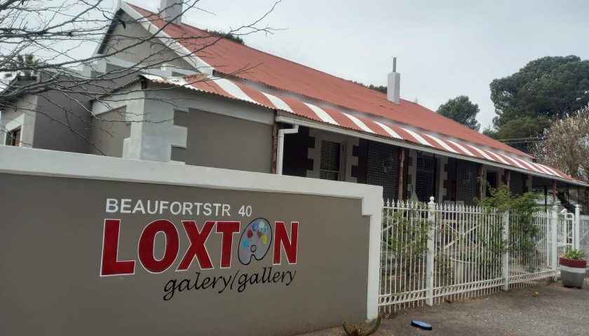
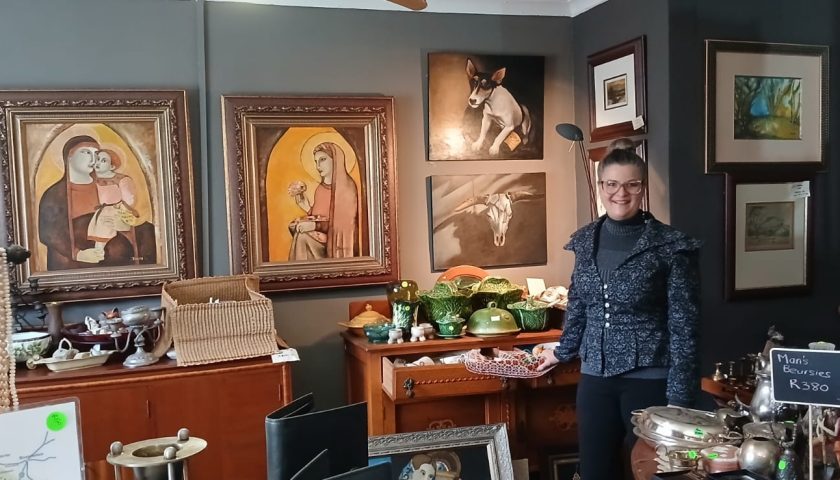
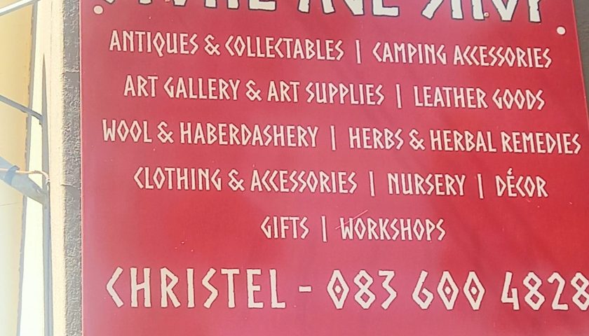
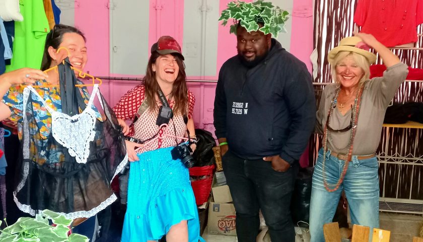
Another local artist is Christel van Wyk who, together with her husband Jan, owns and manages the interesting Stone Age Shop and Art Gallery where you can find anything from hand made leather articles and fashionable clothes and accessories to art work and collectibles from days gone by.
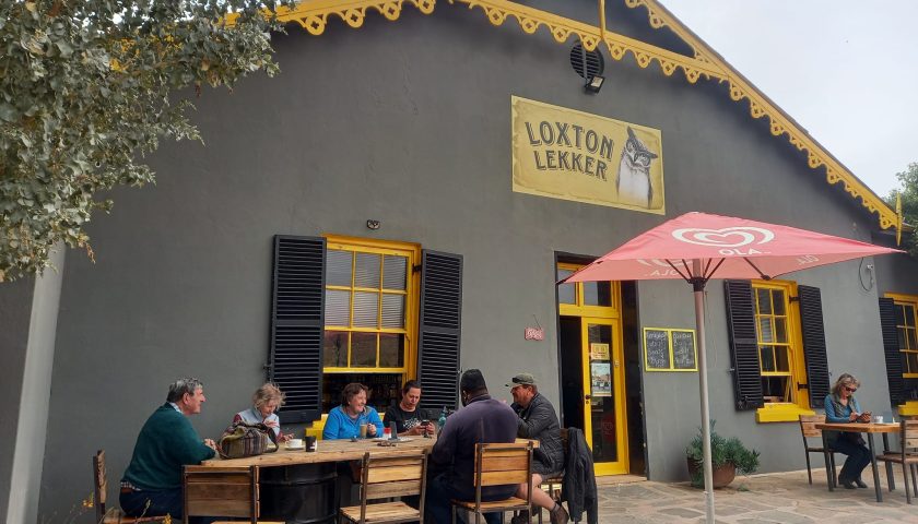
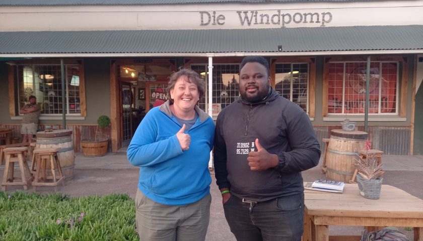
Loxton Lekker is a relatively new and popular Eat & Meet venue in Loxton. The name and venue alone is inviting and we enjoyed a pleasant brunch with owner Manie Esterhuysen while planning the rest of the day’s activities.
Driving around Loxton is like revisiting the past and it is easy to imagine a time when ox wagons still carried supplies to the sheep farmers. The town had its origins on the farm Phizantefontein which the Dutch Reformed Church bought in 1899 from A.E. Loxton – after whom the town was named. Built to serve the sheep-farming community, it became a municipality in 1905. In March 1961, three-quarters of the town was destroyed by a flash flood causing the dam above the town to burst.
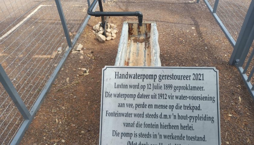
The old manual water pump that was used to pump fountain water for the earlier trekboers and their animals, was restored in 2021 and is still in working condition. Water is still being pumped to the site via a wooden pipeline system.
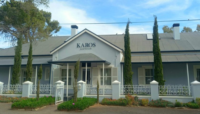
The group spent a relaxing, enjoyable dinner at the Wawiel Restaurant & Pub before retiring to their respective overnight accommodation – the Biesiespoort Guest House on the neighbouring historical working farm, the impressive Karos Guest House in town and the Jakhalsdans Guest House on another neighbouring farm.
More photos and info here: https://web.facebook.com/elsa.wessels/posts/pfbid02QCoMKruGEr2bsQzktJcZJX1KhGfGwRSNpCQnqvXr9G2tr1sydrVNXxhCQUDDZR5wl
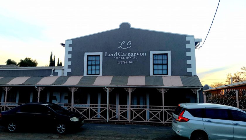
DAY 7: LOXTON TO CARNARVON
After a good rest in Loxton, the team hit the R63 to Carnarvon where we first enjoyed breakfast and booked into some of the beautifully restored Lord Carnarvon guest houses before we embarked on a tour of this historical town in the Northern Cape.
The town has its origins as Schietfontein, an old Rhenish mission station dating back to the 1840s. It served the spiritual needs of the Basters who had established themselves in the district since the early 1800s. Led by the Rev Christian Alheit, who was born in 1817 in Thuringen in Germany, Schietfontein was situated close to Harmsfontein, where some Xhosa families had received land granted in 1839 by the Governor of the Cape Colony, Sir George Napier.
A visit to the Carnarvon Museum is a must-do for any traveler who would like to know more about the nomadic lifestyle and experiences of the early trekboers.
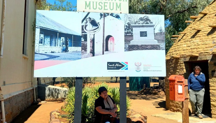
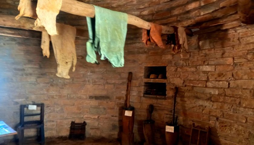
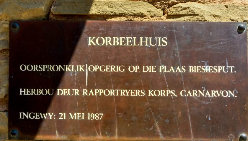
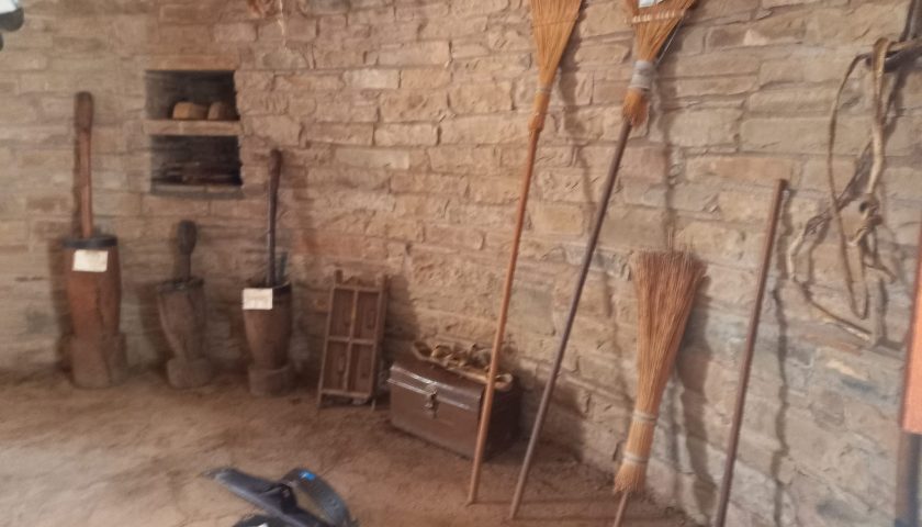
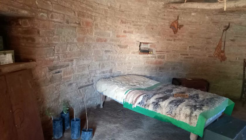
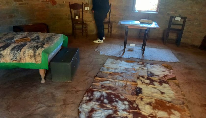
The artefacts and relics in the Carnarvon Museum offer a peek into the lives and livelihoods of those who dwelled, dealt and died in these regions some 2 centuries ago.
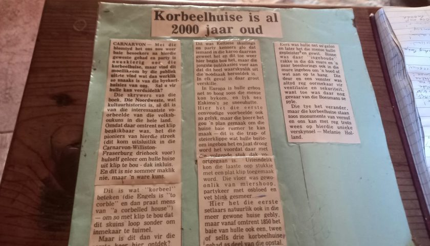
The village of Harmsfontein was established in 1860 and was renamed Carnarvon in 1874 in honour of Lord Henry Carnarvon, the British Colonial Secretary from 1874 to 1878. The Dutch Reformed Parish was established in 1875.
The far-flung frontiers of the ill-defined Cape Colony were a haven for many desperados and fugitives from justice in Cape Town. The Carnarvon district during the late 1700s and early 1800s sheltered a number of these fugitives in the wild open lands of the north-east frontier of the Colony.
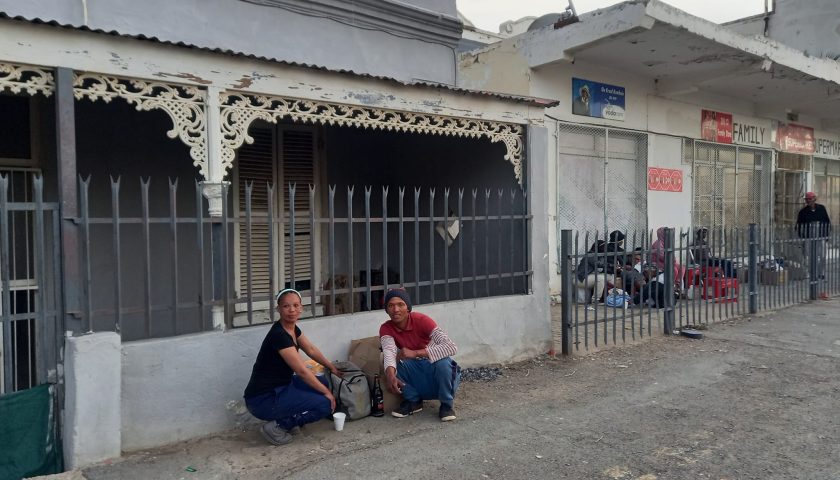
Today, Carnarvon is like most other Karoo dorpies, a mixture of poverty and prosperity, progress and decay. Loiterers, beggars and hungry children obscure the entrances to shops and the newly revamped old buildings which are gradually being restored to its original splendour.
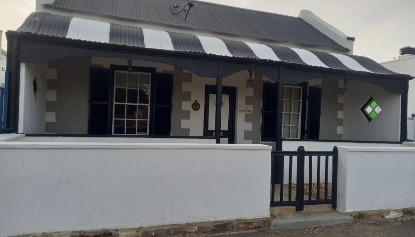
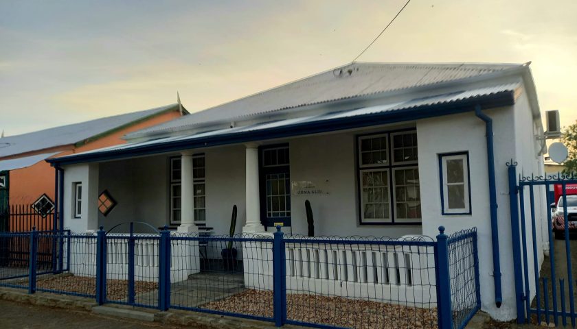
A native of Carnarvon and owner of the Lord Carnarvon Hotel, Pieter Hoffman, is the driving force behind the renovation of these old houses in an attempt to restore and conserve some of the beauty and pride of this old Karoo town with its rich history and architectural heritage.
THE SKY IS THE LIMIT
FROM ANCIENT ROCK IGLOOS TO GIANT KAROO EARS TO DECIPHER THE UNIVERSE’S SECRETS
One cannot visit Carnarvon without finding out what the much-acclaimed SKA and Meerkat projects with their numerous antennae like monster ears are all about. These projects have earned Carnarvon international status in the astronomy and astro-tourism fields. Carnarvon is one of the key Northern Cape settlements to encircle the enormous Square Kilometre Array (SKA) complex of radio astronomy dishes, established on a series of farms bought since the early 2000s.
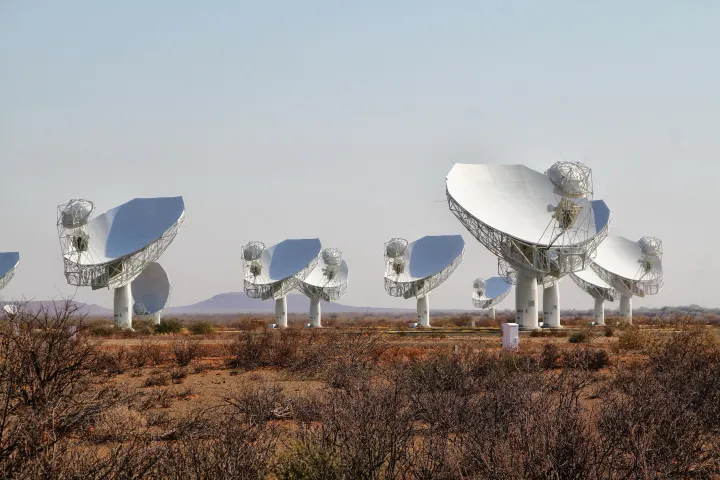
This project – an international enterprise to build the largest and most sensitive radio telescope in the world – will eventually entail hundreds of receivers through Africa and across to Australia, all feeding torrents of data back into major computing centers to be transmitted around the world for astronomers and scientists to decipher the secrets of the universe.
The ultra-sensitive radio telescopes need near-perfect silence and the vast Karoo region between Carnarvon, Williston, Vanwyksvlei and Brandvlei was deemed the most suitable for the project.
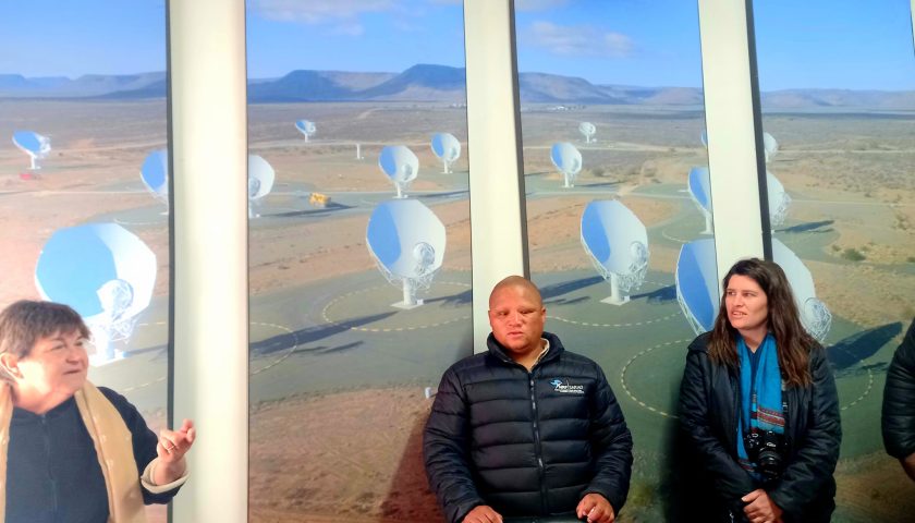
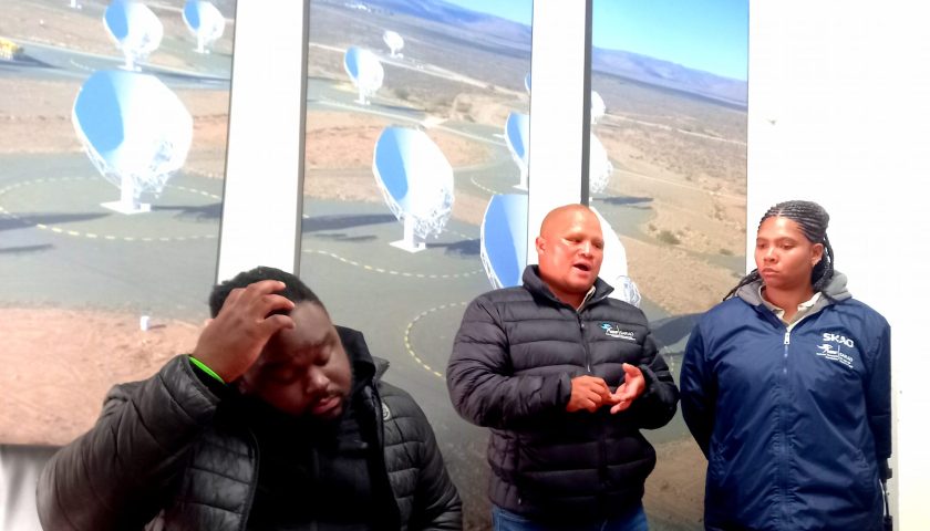
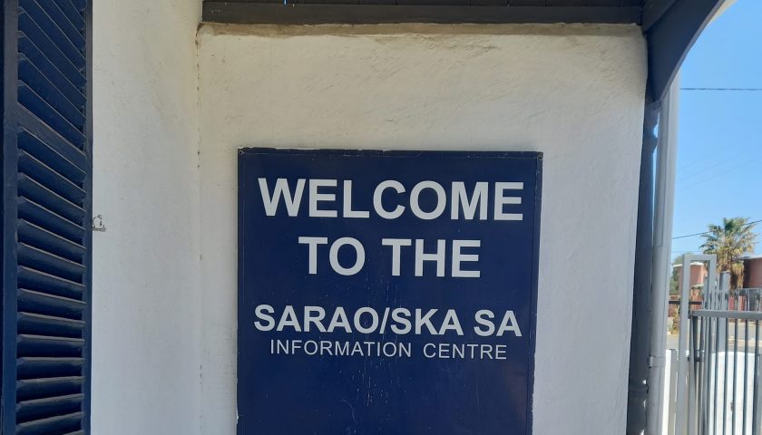
The FH team was welcomed at the Information Centre of the South African Radio Astronomy Observatory (SARAO) by Brandon Booysen and Chrislin de Koker, two of the first students to be trained as Astro Guides in a spin-off to embrace astro-tourism as part of the SKA hype. This cultural astro tourism show, similar to the one at the Sutherland Planetarium & Astro-Amphitheater, is aimed at aligning the stars with ancient tribe stories about the night sky.
A visit to the actual Meerkat National Park, where the Meerkat radio telescope (a precursor to the SKA telescope) will be integrated into the mid-frequency component of SKA, remain strictly off-limits to the public. Visits are only allowed by prior arrangement, as advertised on the SKA website www.sarao.ac.za).
More photos & info here: https://web.facebook.com/elsa.wessels/posts/pfbid0ke4LNdwTGXQw5F9usA9YJ1sanodTKmNzfsVzPT1XhuDhM1GXCyt9fvwKhfoin3Zgl
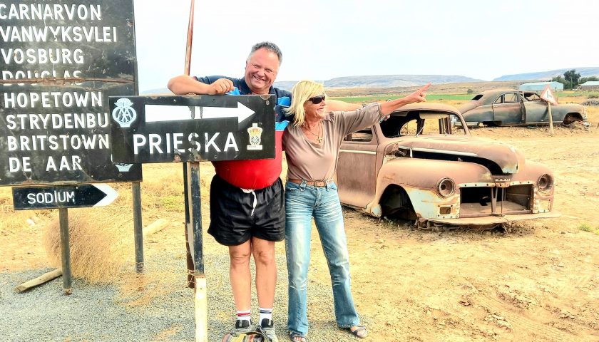
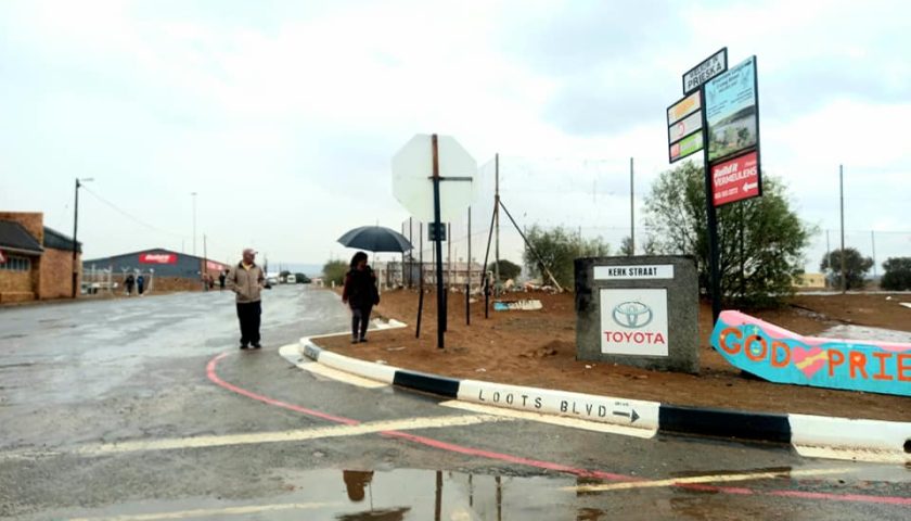
DAY 8: CARNARVON TO PRIESKA
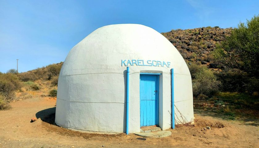
Time flies when you’re having fun and crossing borders, boundaries and blissful beauty. We followed the Forgotten Highway route along the flat Kareeberge past historical landmarks such as Schietfontein and Karelsgraf to Prieskapoort and the south bank of the Orange River at the foot of the Doringberg.
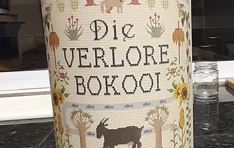
Prieska was established in 1878 and is a rich source of precious stones. The town was originally named Prieschap, a Khoisan word meaning “place of the lost she-goat”.
The team took time to appreciate the historical landscapes, landmarks and topography along the way where earlier tribes and trekboers met, cooperated or clashed to lay the foundation of our modern, diverse society. Past Elandsvalley, which Burchell described as “a mere puddle of muddy water in the open plain.” The water did not soak into the earth because of the clay soil. Apparently, Burchell and his group found the pond all trampled and the water unusable at their arrival in 1811 after one of the Khoi helpers Moses, let his oxen drink from the pond long before the people arrived.
A relaxing picnic-style breakfast set the mood for another adventurous day in the footsteps of our ancestors.
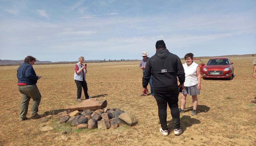
The next landmark which we battled to locate was the stone grave, probably made by Khoisan people, of the legendary Karel Krieger (Kruger) who was trampled to death by an elephant that he had wounded on a hunting trip. Prof. Atkinson described the incident in Afrikaans on video.
The landscape gradually started to change again from arid Karoo to the typical red sand and trees of the southern Kalahari as we got closer to the Orange River and Griquatown.
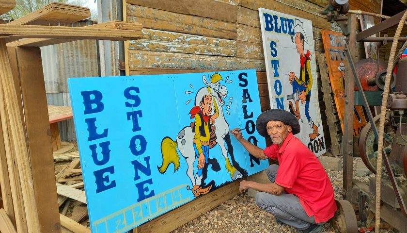
At the turnoff to Prieska/Vanwyksvlei we stopped for lunch at the famous Blue Stone Saloon & Antique Town Collectibles of the charismatic John van der Westhuizen . . . and stepped into yet another world of bygones and history.
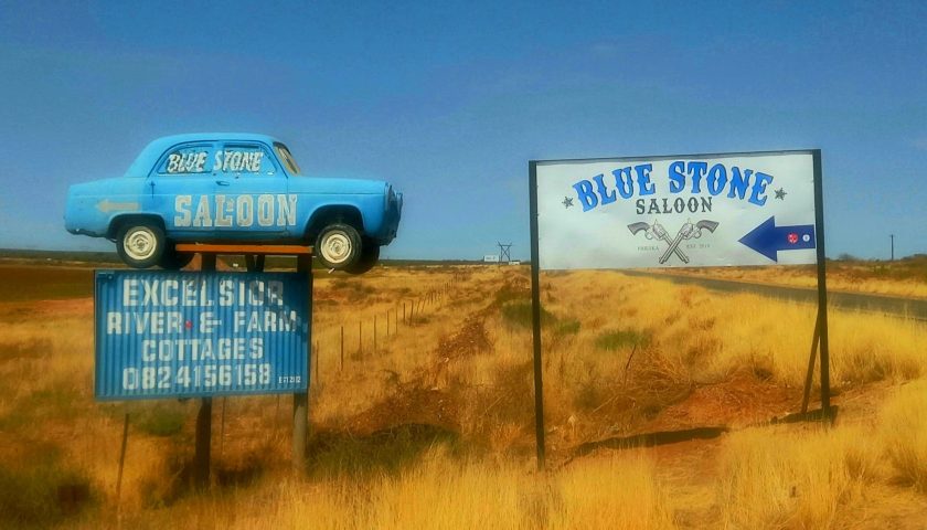
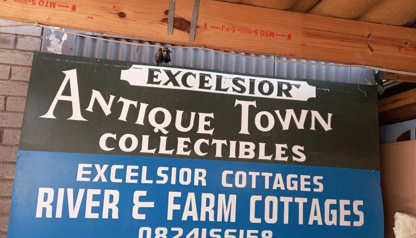
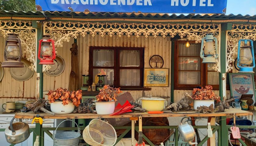
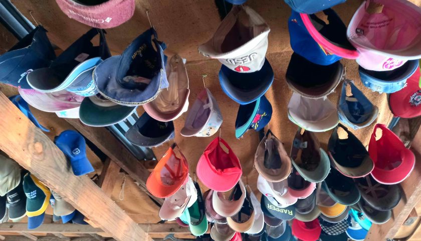
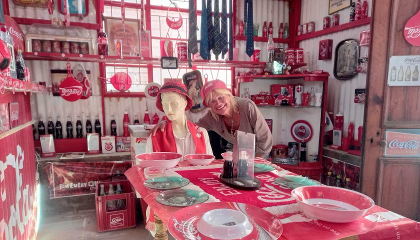
The FH team was treated to a lovely lunch and had great fun exploring the various “shops, stories and sentiment” in John’s own Blue Stone Village where history, relics and artefacts from bygone eras come to live again in a most artistic fashion. A memorable Blast from the Past!
The beautiful sign writing and advertising boards at The Blue Stone Saloon are all handmade by Pieter Venter, a native from Prieska whose talents and craftsmanship are well-known across the region.
We finally had to leave the nostalgia behind and move towards Prieska for the night . . .
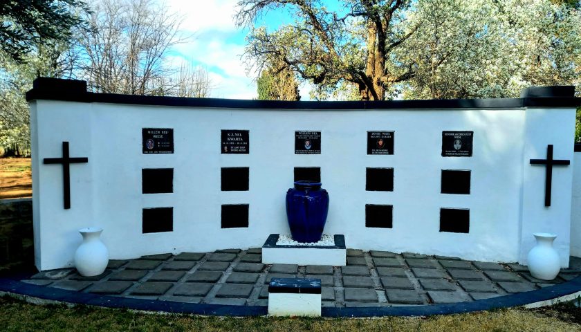
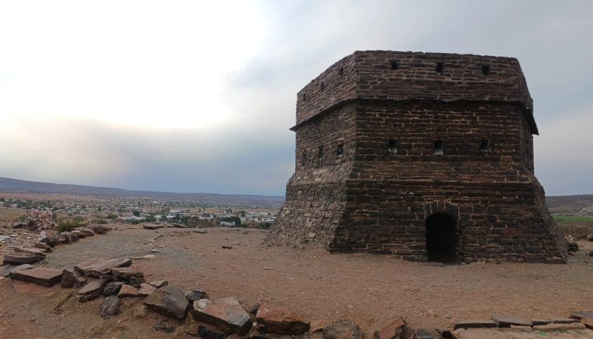
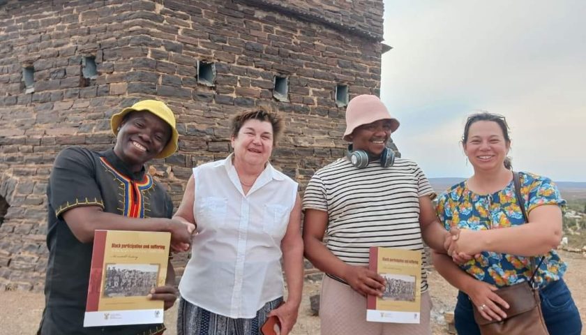
A quick visit to the old British Stone Fort (Blokhuis) on a hill (Prieska Koppie) on the outskirts of Prieska overlooking the town was also on the itinerary. The site of the town, founded in 1882 and renowned for its semiprecious stones, was a fording place used by early travelers. The Fort is made entirely of tiger’s eye. The fort was built during the Anglo-Boer War of 1899-1902, and the graves of British soldiers who died in the war can be seen in the Memorial Garden in town. Here prof. Atkinson met with local Lucky Motlatsi and handed him a book out of appreciation for the heritage work he does in Prieska. Lucky and a team cleaned the Prieska Cemetary and used stones to pack the word “Heritage” on the koppie near the Fort.
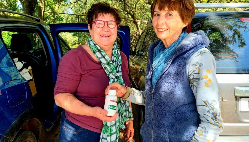
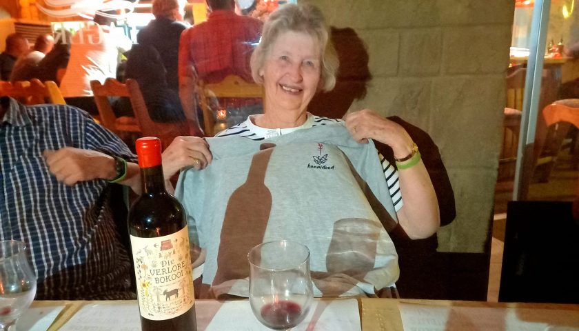
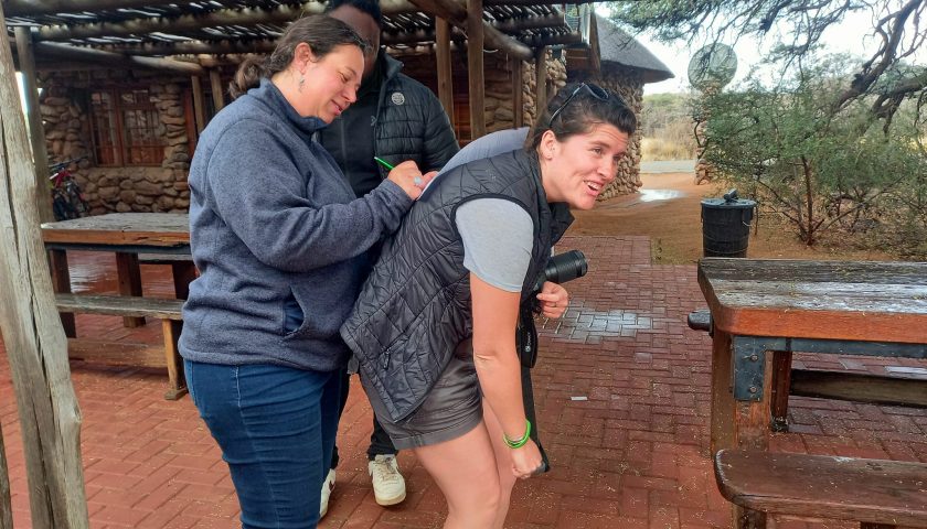
We spent the night at the characterful River View Lodge on the banks of the Orange River where we also celebrated FH team member Lynette Prinsloo’s 80th birthday. Apart from a birthday cake, the team presented her with a T-shirt inscripted “Kanniedood” and a bottle of red wine commemorating Carnarvon’s origin (Place of the Lost She-goat) as appropriate and memorable keepsakes of the tour.
More photos and info here: https://web.facebook.com/elsa.wessels/posts/pfbid02Kswj2LGwmtuewnnE6MpTJratDQvbyF2c1yyST3hqwFWWEShV3THZHgJsTxrEpFEal
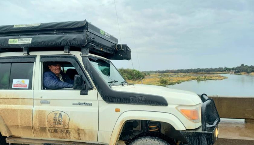
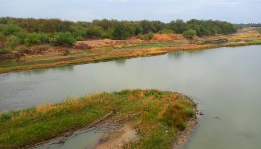
DAY 9: PRIESKA TO WITSAND NATURE RESERVE
We left a rainy Prieska behind and crossed the Orange River en route to Groblershoop . . . and again the team was mesmerized by the colour burst of fertile copper-red clay soil birthing a variety of trees and thorn bushes so typical of the southern Kalahari.
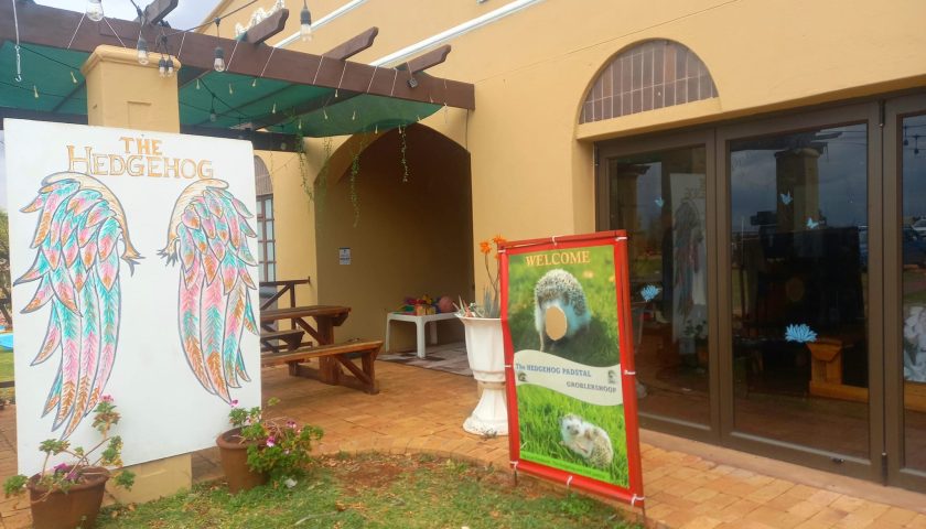
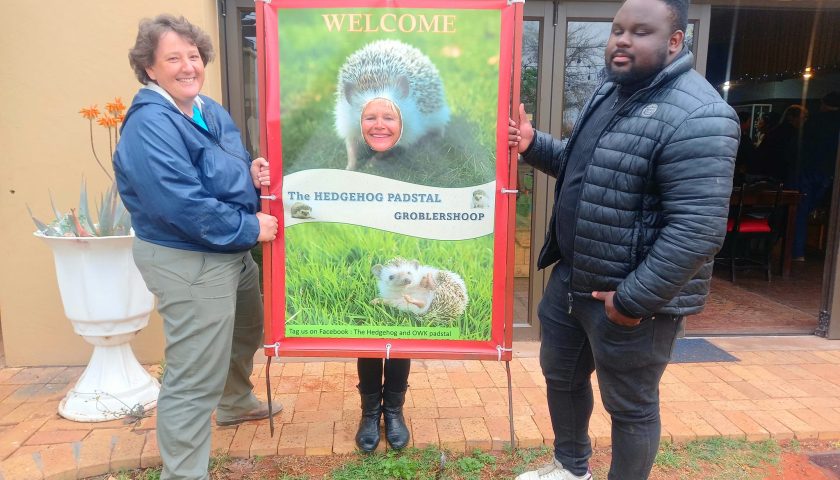
We stopped for roosterkoek, brunch and fun in the rain at the welcoming Hedgehog Farm Stall outside Groblershoop. The Groblershoop settlement was founded in 1914 on the farm Sternham. It was renamed in 1939 after Piet Grobler, a former Minister of Agriculture. The region became more developed after the construction of the Boegoeberg Dam and water channels in 1929. Known as the gateway to the Green Kalahari, the Groblershoop region is a major wine-producing area.
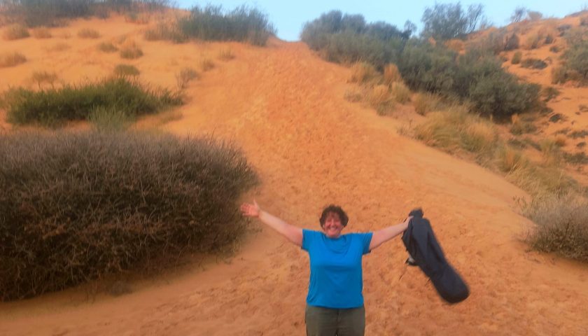
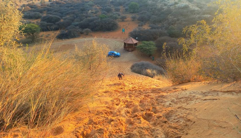
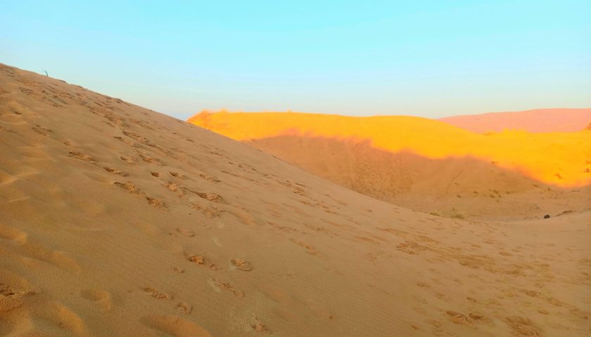
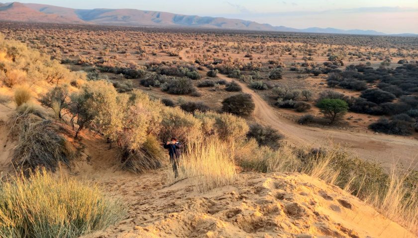
WITSAND AND ITS ROARING DUNES
We arrived at the impressive Witsand Nature Reserve where the FH group spent their last night together in the comfortable bungalows with outdoor fireplaces overlooking the tree-dotted landscape where gemsbok, monkeys and other wildlife still roam freely.
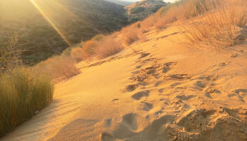
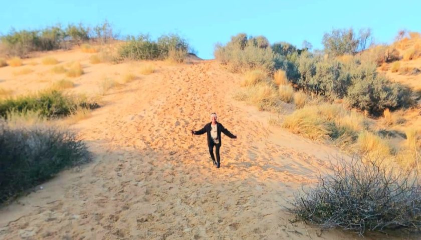
Witsand Nature Reserve is an oasis of peace and tranquillity nestled between impressive golden and red sand dunes, better known as the roaring sands of the Kalahari (Brulsand). These dunes reach up to sixty meters high and are surrounded by copper-red Kalahari sand, Acacia woodland, and the Langberg Mountain range.
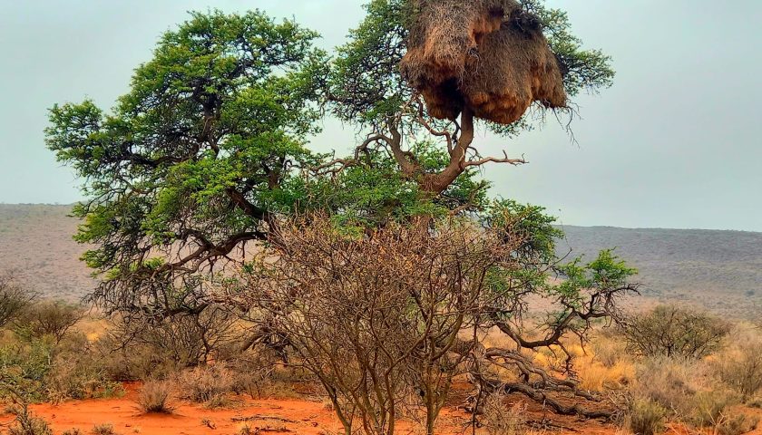
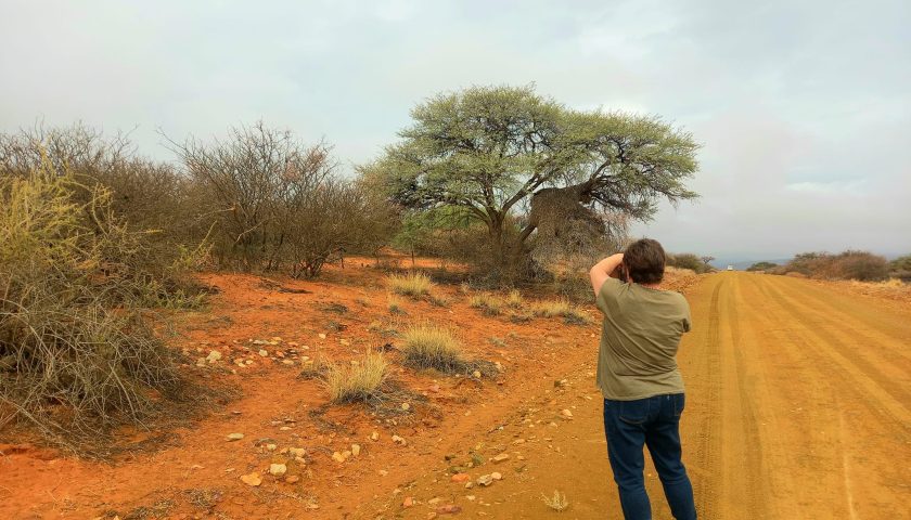
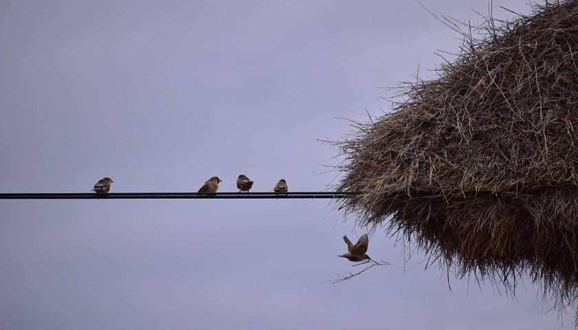
The area was designated as a protected nature reserve in 1994 by the Northern Cape Department of Nature Conservation. Gemsbok (oryx) and other antelope roam freely in this remote paradise and the tree-filled landscape is dotted with thousands of the characteristic social weaver nests in different shapes and sizes. During droughts, these nests, made from grass, are an important food source for grazing animals.
Two of us went to explore the mysterious roaring sand dunes to see the view from atop. Due to the cool weather conditions, we did not hear the “roaring” of the dunes. This mysterious natural phenomenon is believed to be the result of geological and climatic anomalies which cause the desert sands to ‘roar’. The pale dunes are believed to have emerged from an isolated range of hillocks buried beneath the sand, from which springs a natural reservoir of underground moisture that, over millions of years, gradually leached the red iron oxide from the dunes, turning them white.
DAY TEN – LAST DAY OF TOUR AND TIME TO SAY GOODBYE
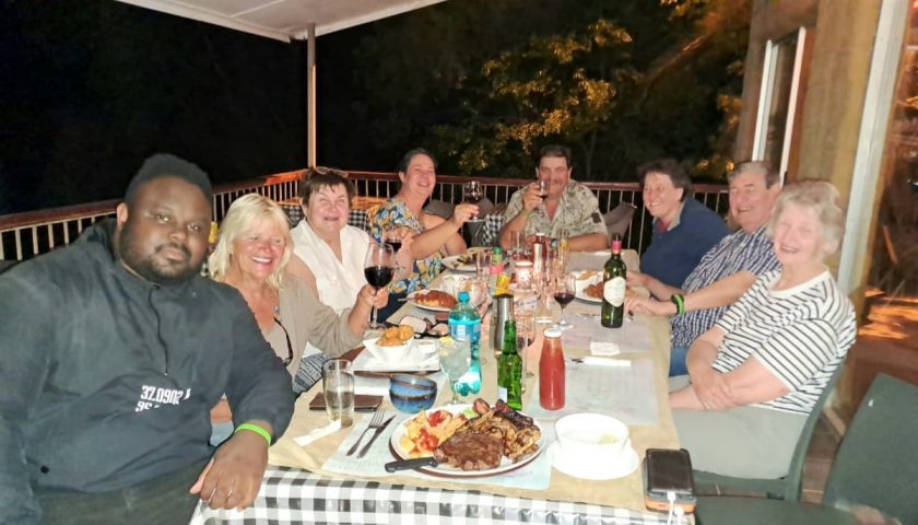
The last day of the tour came too soon. After enjoying our last dinner together – a festive outdoor vleisbraai – the group had an early start. We packed up and after a final group breakfast, went to meet the camp manager and tourism coordinator, John Martiens, for a last explorative tour of this magnificent reserve.
The 3 500 hectare park is a birding paradise boasting more than 170 bird species, including the Kori Bustards (biggest flying bird in Africa), Secretary Bird, Crimson-Breasted Boubou or Shrike, Lilac-Breasted Roller, Namaqua sandgrouse, sociable weaver (with their huge nests) owls and Africa’s smallest raptor – the Pygmy Falcon.
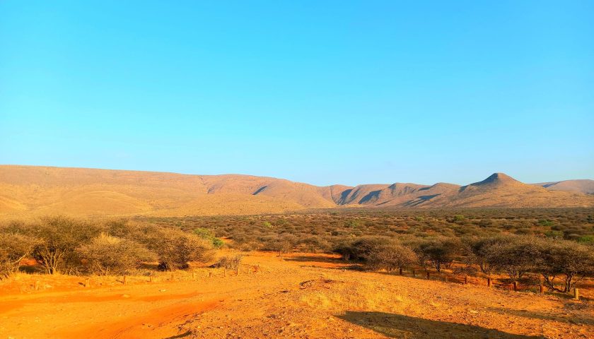
The reserve features Keloid Kalahari Bushveld, Oranje River Nama Karoo and the Kalahari mountain Bushveld supporting more than 16 antelope species such as oryx, red hartebeest, steenbok, springbok and common duiker.
Smaller animals include the Mongoose, Ground squirrel and the meerkats. Nocturnal mammals found at Witsand are the elusive pangolin, aardvark, aardwolf, bat-eared fox and small cats such as the Genet and African wild cats.
SAYING GOODBYE
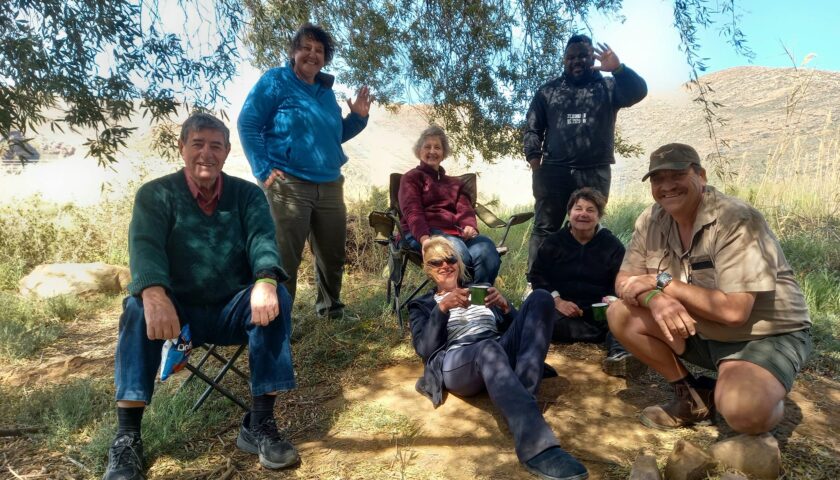
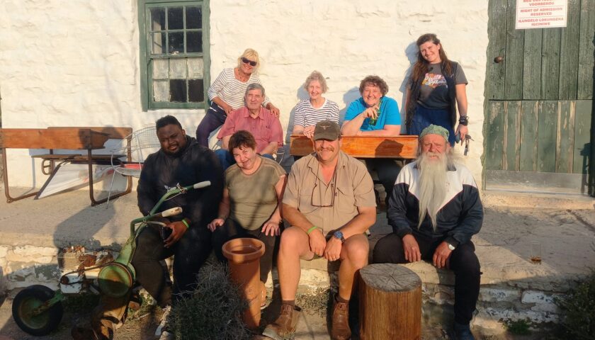
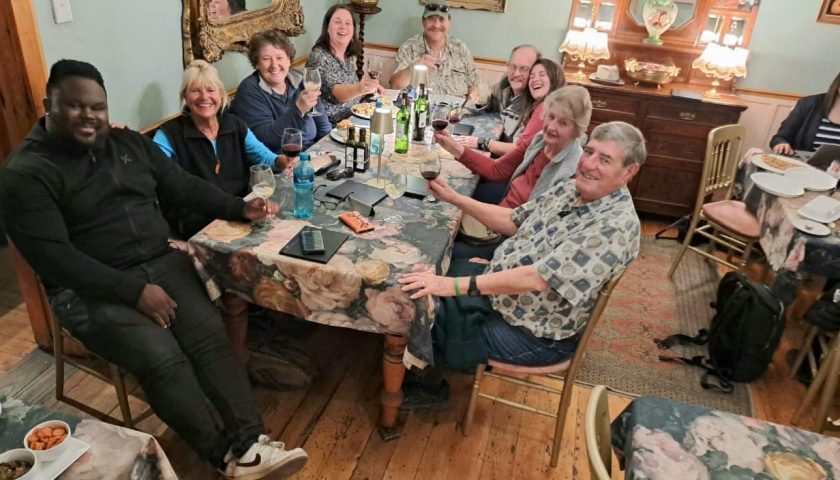
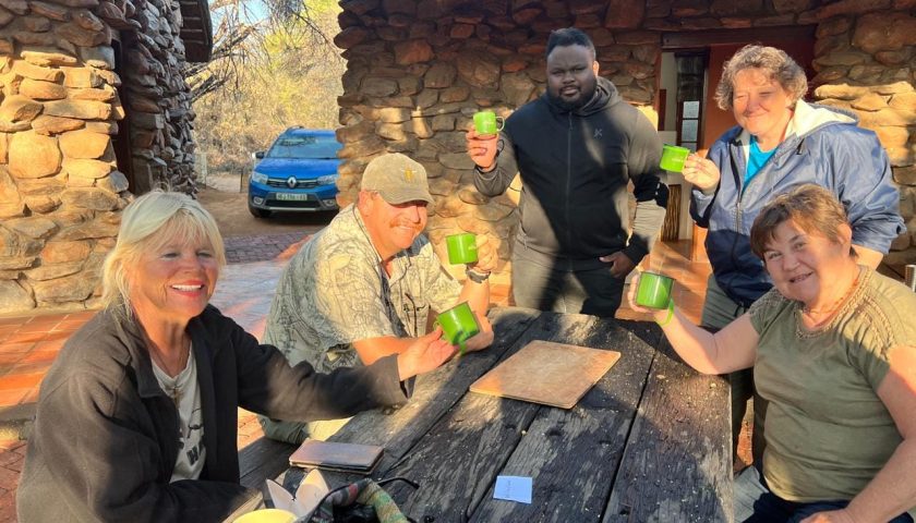
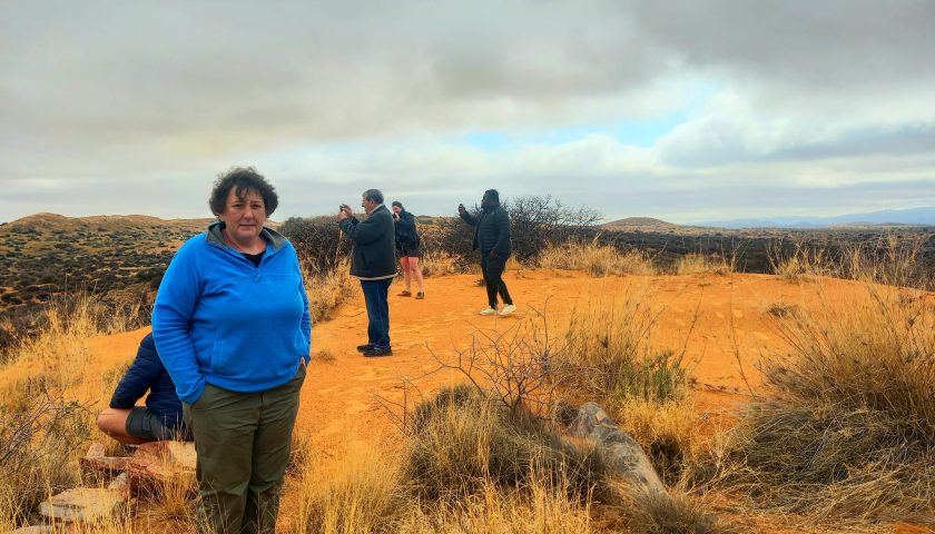
After a most enjoyable and eventful tour, it was finally time to pack up and return home. The nine team members left with fond memories and great camaraderie after spending ten days together on the track of our ancestors.
More photos and info in our Afrikaans journal here: https://web.facebook.com/elsa.wessels/posts/pfbid02DNdAJawowPUnNdkReB4hFjcnHhKpogK4k8hC64QrSUfpUa18pzoQt7vngNEeQA4vl
https://web.facebook.com/elsa.wessels/posts/pfbid02YQdT5MZWpvAo2vDG8KCtxjEfecD9CQ9tUhrWxbeP5Adt4JDgEzvDD1JZ8ShDxAZnl